How to Get to Lake Sarez
Updated April 2026, How to Get to Lake Sarez was originally written January 2018
So you’re planning to visit Tajikistan eh? Looking for an impressive, beautiful, and interesting destination within the country to visit that’s newly open to foreigners? Then Lake Sarez might be the adventure for you.
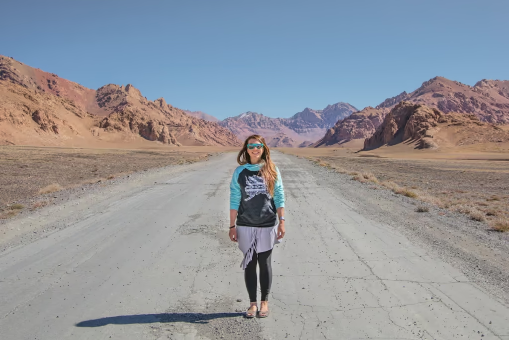
I’ve visited Tajikistan several times now and made it to the lake the second time around. I had been interested in visiting on my first trip, however, I couldn’t track down much to any information on it.
After going home and researching it for the planning stages of my second trip all signs led me to one person who could get me there, and that is a man named Nurmuhammed who runs Sarez Travel.
In 2015 the Tajik government began allowing foreigners to visit Lake Sarez after having forbidden it for 15 years.
Start planning your adventure here: The Tajikistan Travel Guide
Need Travel Insurance and Evacuation Services?
Start shopping for travel insurance plans over at IATI Insurance. Readers of the Adventures of Nicole get a 5% discount off your plan.
The Adventures of Nicole partners with Global Rescue to offer the world’s leading medical evacuation and security advisory services. To travel with peace of mind, explore their evacuation coverage.
A Little About Lake Sarez
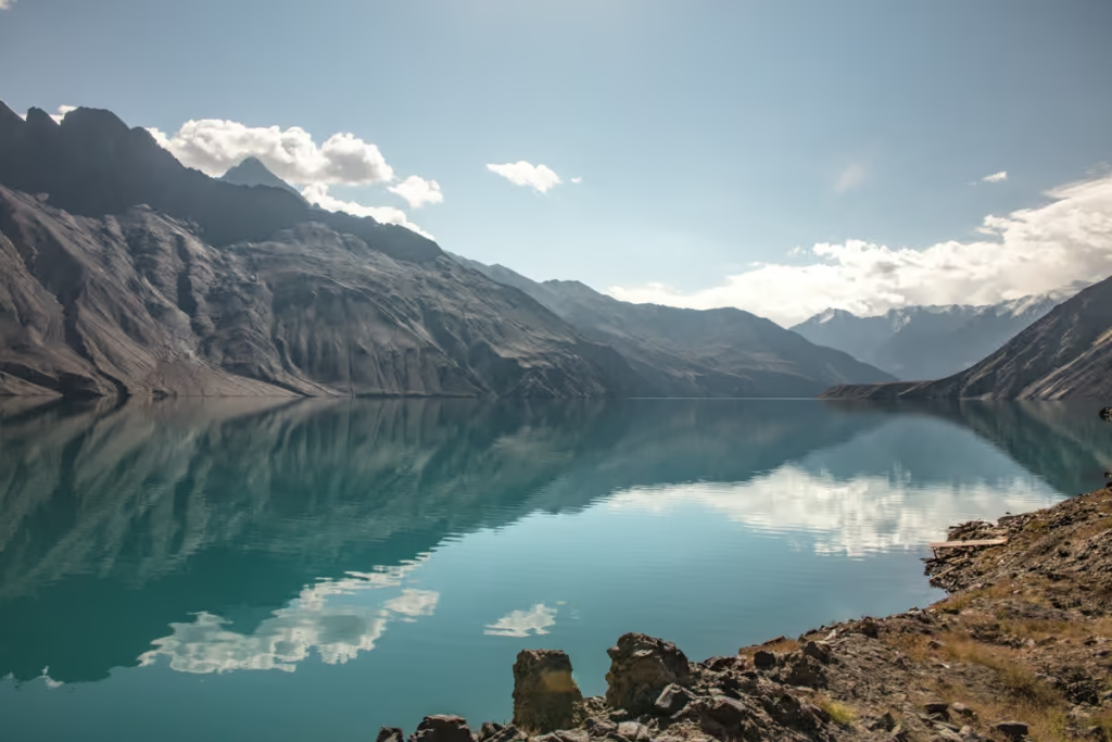
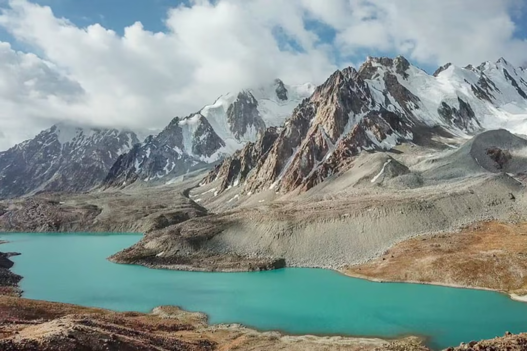
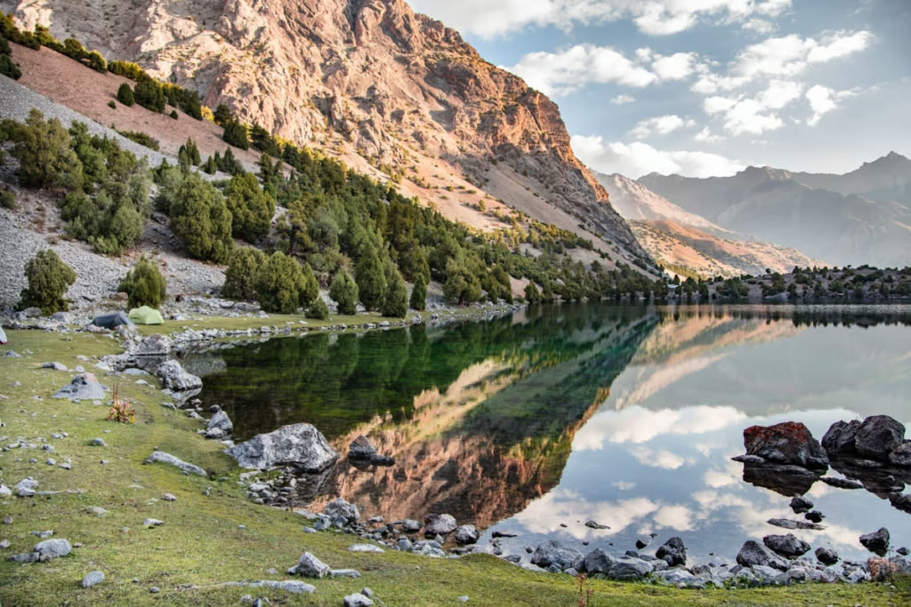
Lake Sarez only exists because of disaster. If anything ever causes the destruction of Lake Sarez it will be one of the largest-scale disasters the world has ever seen.
In 1911 a 7.4 magnitude earthquake rattled the Bartang Valley in the Central Pamir and shook down an entire mountainside into the Murghab River, in what would become the Usoi Dam, the tallest and highest dam in the world.
The landslide buried the villages of Usoi and Sarez and killed an estimated 90 people. With the new dam blocking the water from flowing down from Murghab a lake began to form and continued to grow over the years.
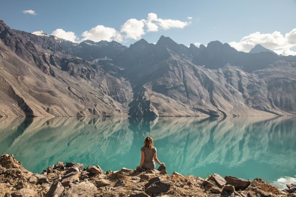
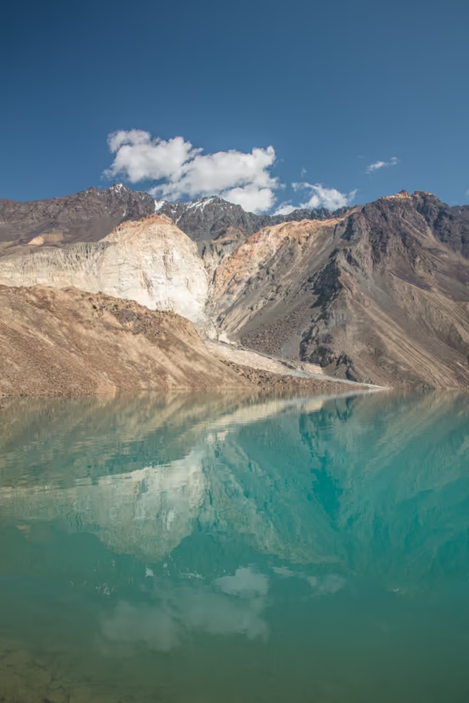
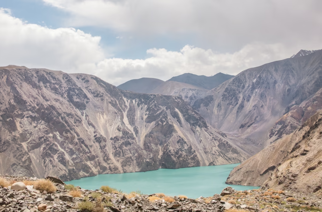
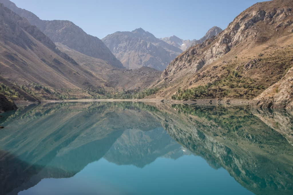
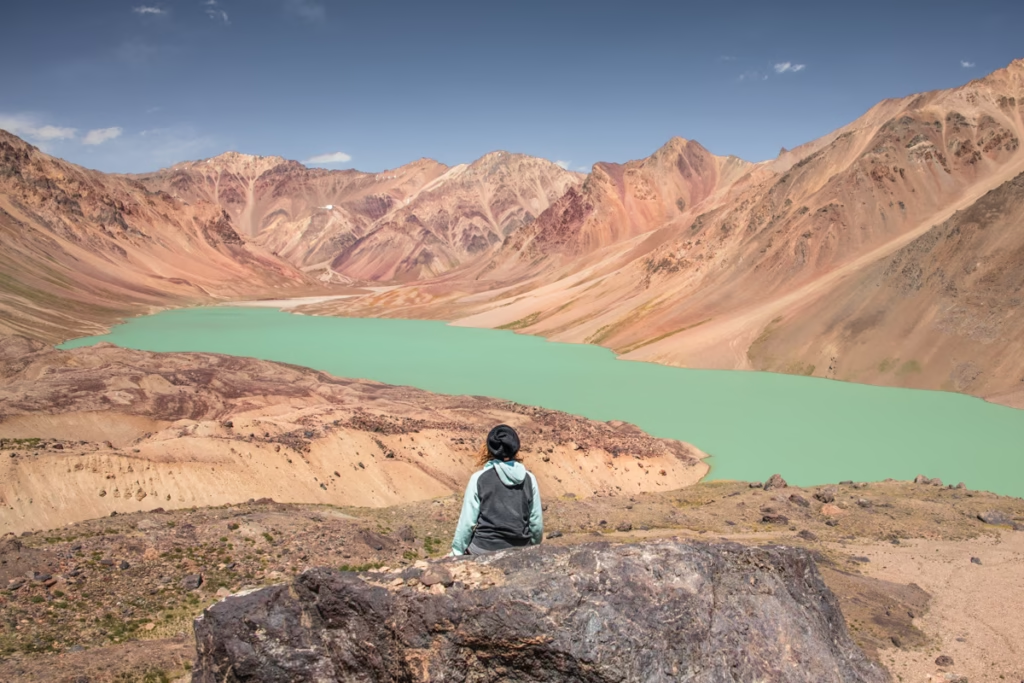
Lake Sarez now is 75km long and is heavily monitored for any changes.
Usoi Dam is regarded to be stable by some and extremely unstable by other groups.
If the Dam were to ever breach it would send a wall of water hurtling down the Bartang Valley, likely destroying most everything in its path.
It would wipe out the villages in the narrow Bartang Valley below Lake Sarez, northern Afghanistan, and possibly even into Uzbekistan.
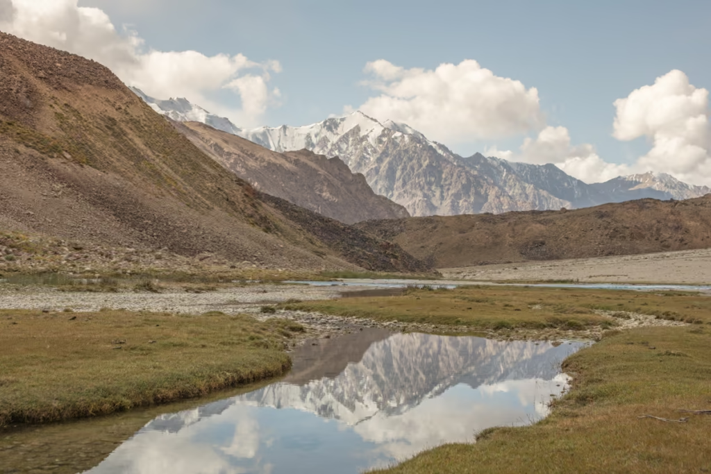
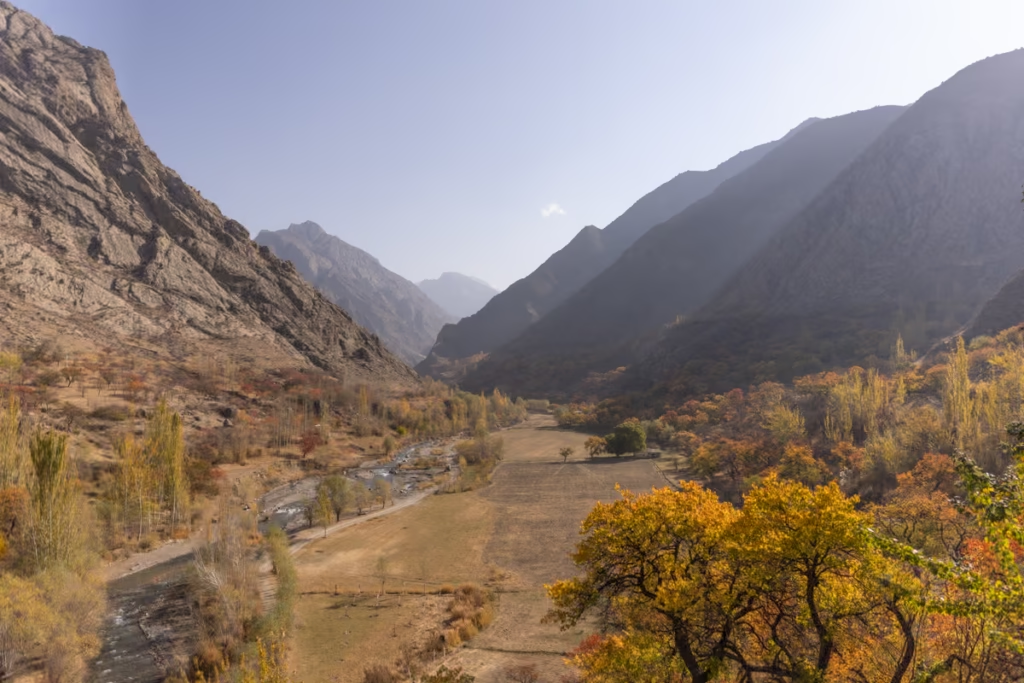
The Murghab River
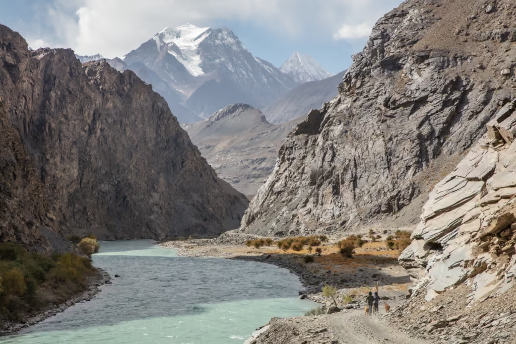
The river I’m referring to here is the Aksuu-Murghab-Bartang River.
The river rises from Chaqmaqtin Lake in the Little Pamir Mountains in the Wakhan Corridor in Afghanistan where it is called the Aksuu River, it continues east across the Tajik border near the village of Shaimak and then heads north toward the city of Murghab.
Once the river passes the city it is usually referred to as the Murghab River where it flows west into Lake Sarez. Below Lake Sarez the Gudara River flows into the Murghab, and at this point, the name changes to the Bartang River.
The Bartang River continues to flow southwest down the valley until close to the village of Rushan where it joins into the River Panj.
From there the Panj continues southwest and joins the Vahksh River that tumbles down from Tajikistan’s big glaciers like the Fedchenko.
When the Panj and Vakhsh join, it becomes the Amu Darya, sometimes better known by its old Latin name Oxus- one of Central Asia’s most important rivers.
The Amu Darya along with the Syr Darya is what fed the Aral Sea.
*There is another Murghab River That flows from central Afghanistan to the Murghab District in the Baghdis Province and onto the Karakum Desert in Turkmenistan. This is a completely different river. Confusing, right?
More adventure awaits in the Central Pamir: The Bartang Valley Travel Guide
What Do You Need to Visit Lake Sarez?
Long story short: You need to contact Sarez Travel, Discover The Pamirs, or Bartang & Sarez Tours in order to obtain the permit and necessary guide.
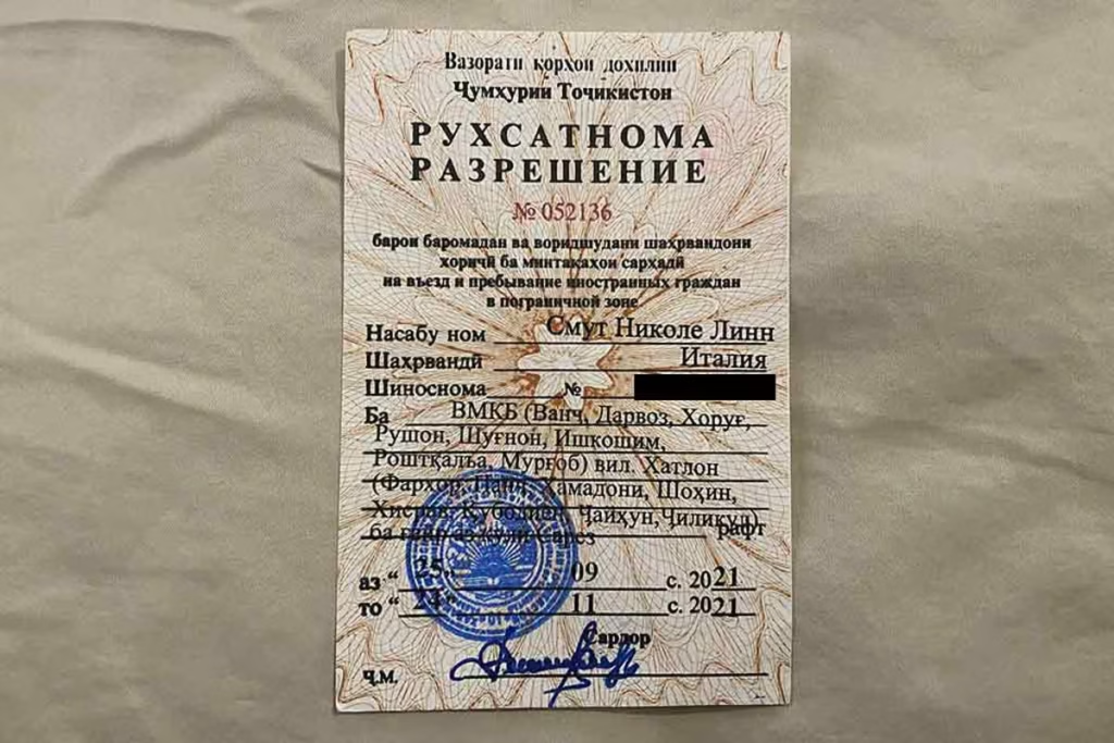
When I was researching how to get to Lake Sarez, really the only solid piece of information I had tracked down was that you need a Lake Sarez permit in order to go there.
How to get one? Well, that’s where things get a little murky. Techinically, the permits are issued in Dushanbe by the Ministry of Emergency Situations (however, I’ve never tracked down any evidence of foreigners getting the permit directly).
After asking several agencies in and around Tajikistan about obtaining the permit, the resounding answer was that I needed to contact Nurmuhammed with Sarez Travel, as this was the only agency that could obtain the permit.
How to Get a Lake Sarez Permit
You will need to contact one of the above-mentioned agencies to secure a Lake Sarez Permit.
For Nurmuhammed at Sarez Travel, email: info @ sarez.travel, phone: +992 (93) 407 25 46.
For Saidmamad at Discover The Pamirs, phone: +992 (93) 120 11 14, email: info @ discoverthepamirs.com.
For Bartang & Sarez Tours phone: (+992) 93 597 37 25, email: bartangsareztour @ gmail.com.
Especially in summer/fall try to get in contact a good amount of time in advance as many of the guides that do take people here will be out leading tours and phone coverage is spotty out here.
Tell them what route you’d like to take, and which dates (most people choose to trek from Barchidev to Lake Sarez over the Usoi Dam and return to Barchidev, and a 4×4 from Khorog to Barchidev return, as this is the shortest trekking route to access the lake). They will need four things from you:
- A copy of your passport information page
- A copy of your Tajik Visa
- A copy of your GBAO Permit (should be on your e-visa if you applied for them together). If you don’t have one, it’s possible to get one from the OVIR office in Dushanbe or have us obtain your GBAO permit for you in advance.
These items are what he needs to obtain your permit for you. The Sarez permits cost $25 per day.
It is mandatory to have a local guide to visit Lake Sarez. You will be fined if found by park rangers/police/local KGB without a permit.
It is a large fine, with possible detention and/or deportation. Sarez Travel can arrange a guide and donkeys to porter gear if necessary.
Technically You Should Have a Tajik National Park Permit as well
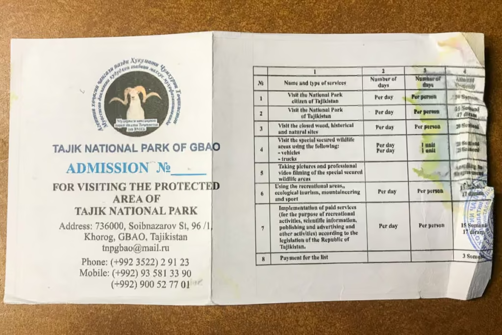
Whether you approach Lake Sarez from Barchidev or from Bachor/Yashilkul you do technically need a Tajik National Park permit as it all sits within the park.
These are easy to obtain- just visit the PECTA office in the Central Park in Khorog or the Tajik National Park office in Murghab where you can pick one up. If you don’t get it in advance, you can pay on the spot if you run into one of the park rangers. Have a hefty stack of cash on you as the government has jacked the permit price way up.
The fee for the Tajik National Park is now 112.50 Somoni per day.
How to Get to Lake Sarez
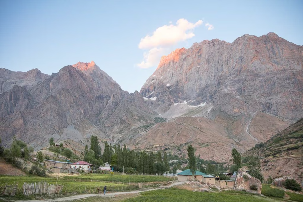
Most trekkers will approach from the village of Barchidev, although there are also trails that connect the Mountain Lakes of Bachor and Yashilkul to Lake Sarez. The easiest route is from the village of Barchidev.
Barchidev to Lake Sarez Trek
Barchidev ➤ Lake Sarez Camp ➤ Barchidev
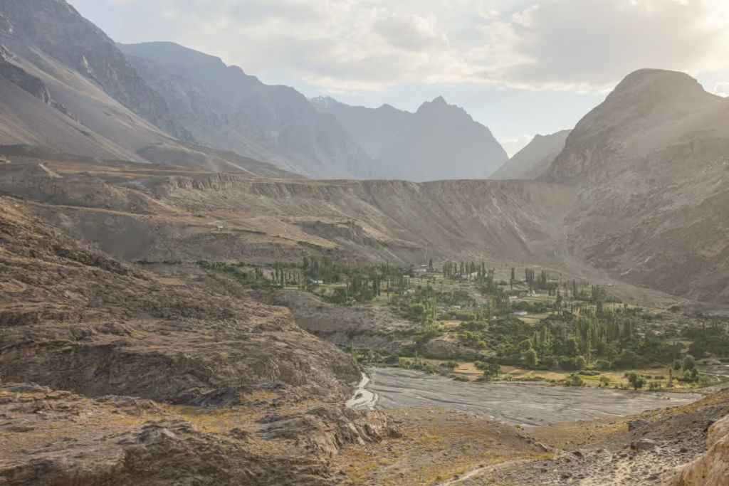
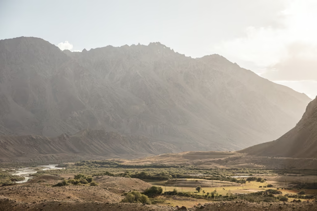
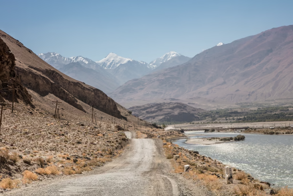
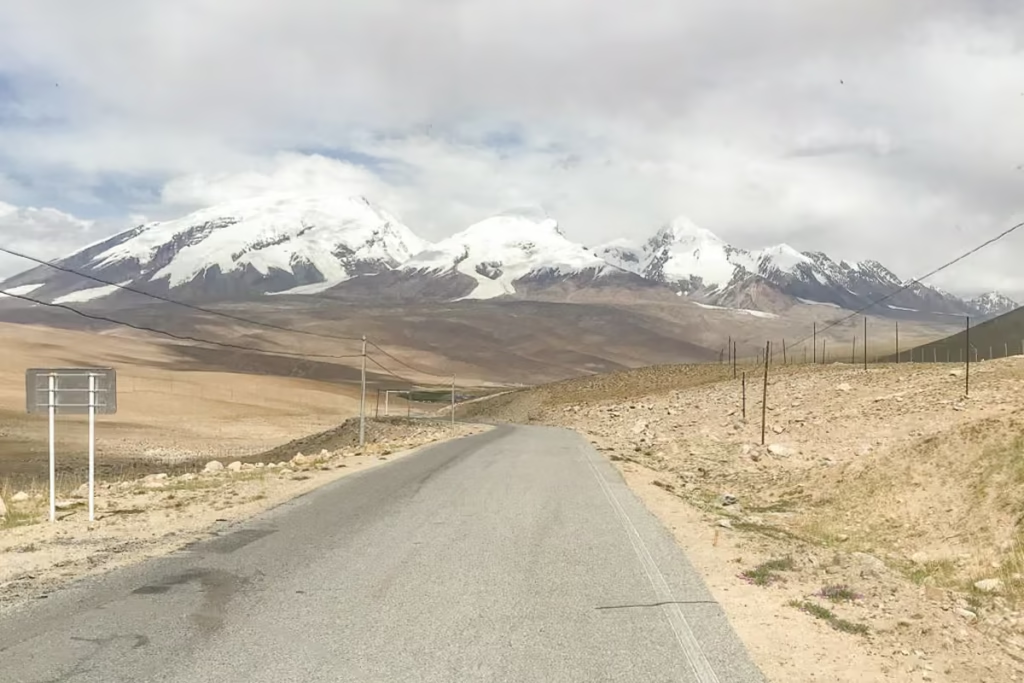
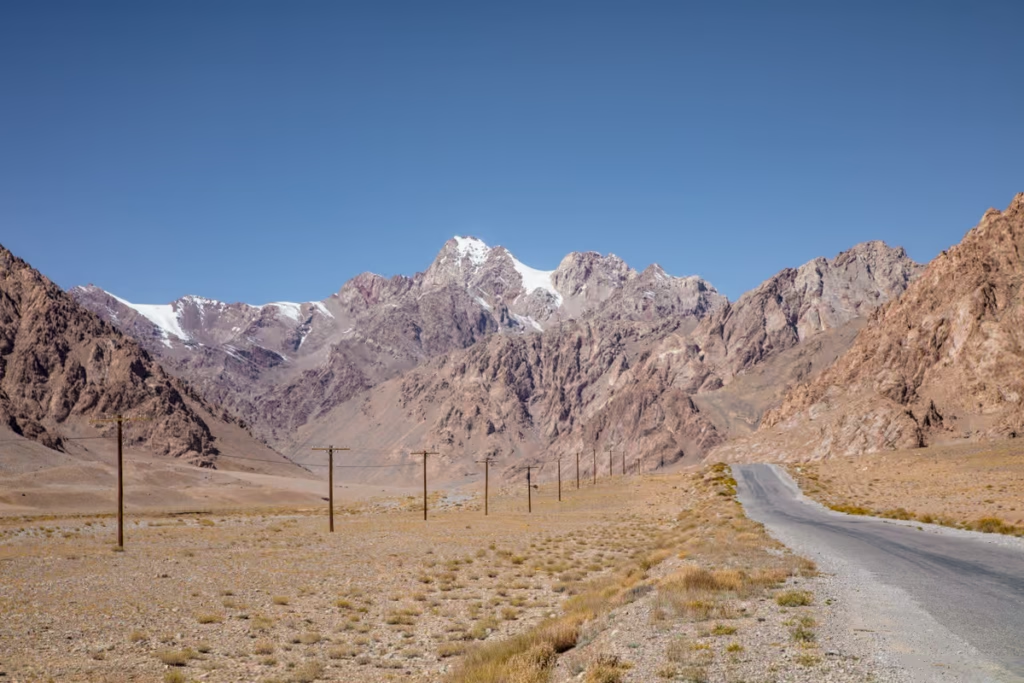
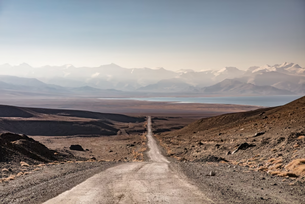
You will likely start from Khorog, where you’ll make the roughly 7 hour 4×4 journey down the Pamir Highway to the village of Rushan- the gates of the Bartang Valley.
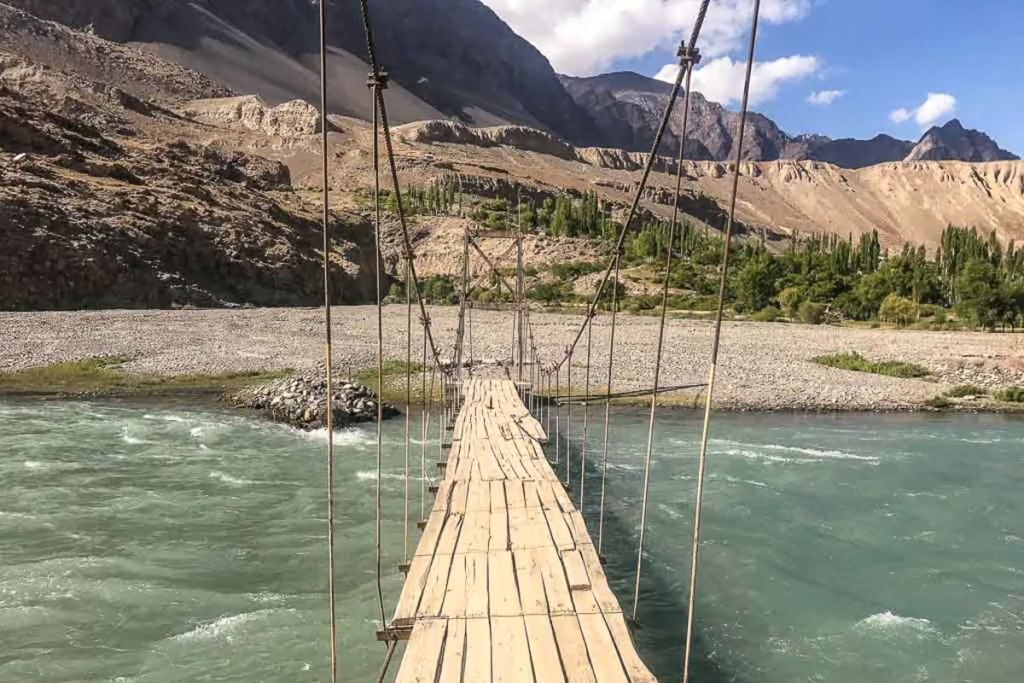
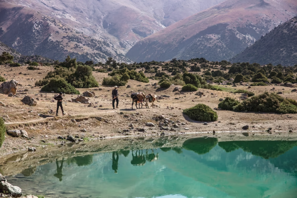
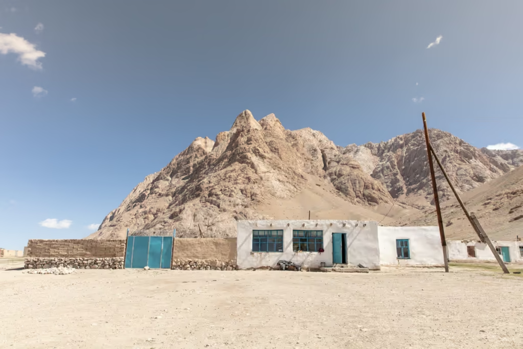
From here you will continue up the rough and wild Bartang Highway to the village of Barchidev. After spending the night in a homestay in Barchidev (likely Nurmuhammed’s family’s home), you’ll begin the day hike to the lake.
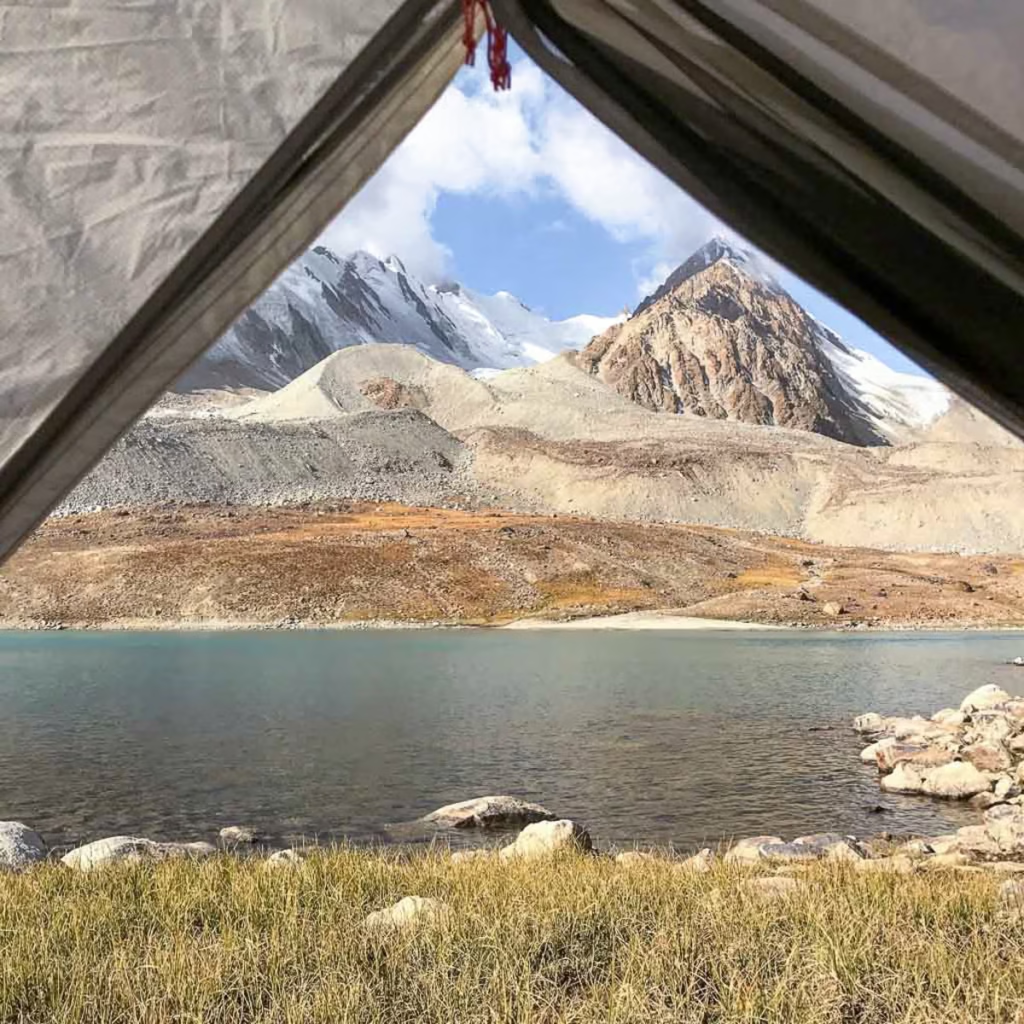
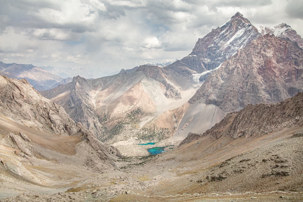
The distance is roughly 15 kilometers each way, you’ll cross a suspension bridge over the river and follow a valley to Usoi Dam where you’ll climb up to the top with views of Lake Sarez and Shadau Lake which are separated by the Dam.
You’ll then climb down to the edge of the lake and spend the night in one of the large tents set up outside the Geological Camp.
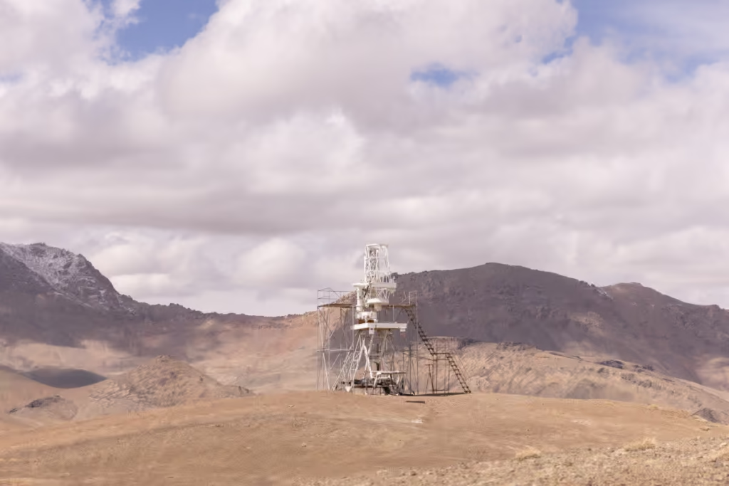
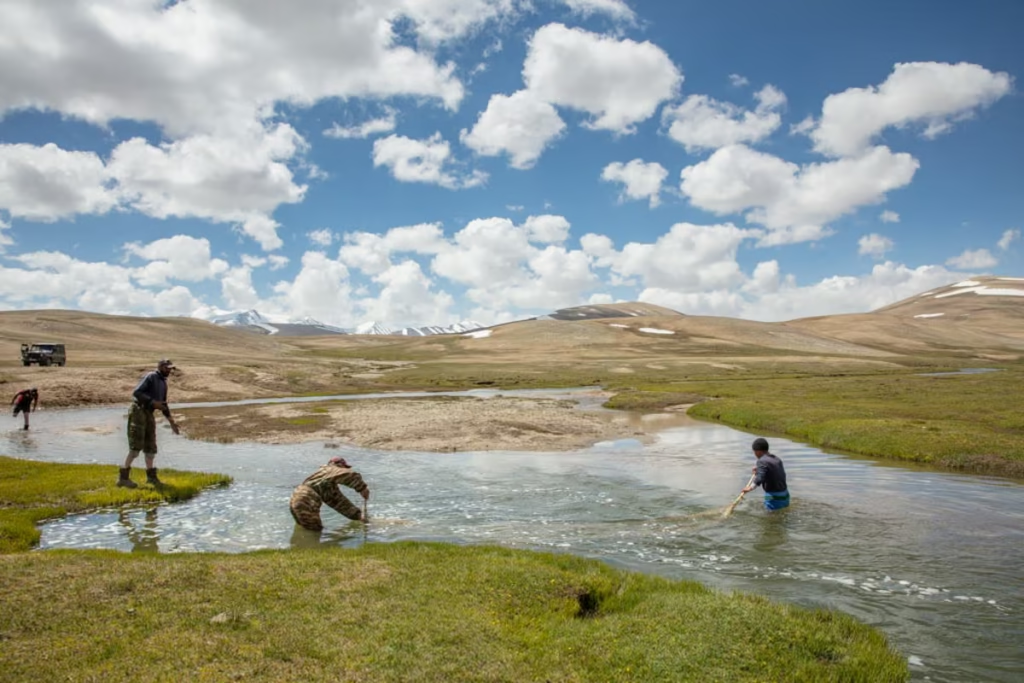
You will get to tour the Geological Camp and meet the men who work to monitor the lake’s stability, they’ll even show you how the seismic equipment they use works if you’re interested.
Taking on the world’s most epic road trip: learn everything you need to know in my Pamir Highway Travel Guide
and create the perfect itinerary using my 10 day Pamir Highway itinerary
The next morning you will have some time around the lake (that is unless you opt for a longer trip to have more time at the lake) before you make the journey back to Barchidev, yet again staying in the homestay, then depart the next day back to Khorog or wherever you continue onto.
This trek usually takes 2 days and 1 night to complete. Once you include driving to/from Khorog the trip easily becomes 4 days, 3 nights.
The cost including 4×4, guide, meals, and homestay was $708 including Sarez permit in August 2017, of course, this cost would be divided up amongst travelers (supplemental fees would be added for necessary additional meals needed to accommodate group size) if traveling in a group, or able to join a group already going.
It is possible to arrange a boat take you from Usoi Dam to Irkht where you can continue trekking down to either Bachor or Yashilkul.
Looking to do more hiking? Check out the 10 best hikes in Tajikistan for more ideas
Bachor or Yashilkul to Lake Sarez Trek
Bachor/Yashilkul ➤ Tsaxinkul ➤ Zarojkul ➤ Uchkul ➤ Irkht ➤ Lake Sarez ➤ Barchidev
Bachor/Yashilkul ➤ Langar Pass ➤ Uchkul ➤ Irkht ➤ Lake Sarez ➤ Barchidev
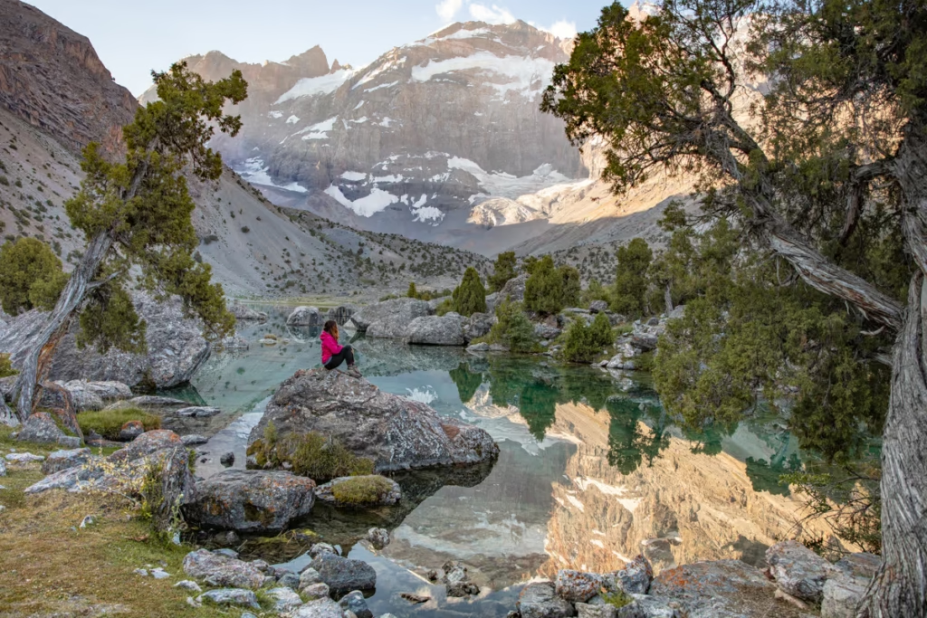
This is a much longer trip with some variations. I, personally have only hiked Bachor to Tsaxinkul and back to Bachor (got a stomach bug and had to turn back), so I don’t have personal information from doing this trek.
You will want to be well acclimated for this trek as altitudes reach just over 4,600 meters at the highest point.
The trek is roughly 100 kilometers to go from Bachor or Yashilkul to Barchidev.
For one option you can from Bachor or Yashilkul head north first to Tsaxinkul Lake, on to Zarojkul then Uchkul, and eventually on to Irkht where you can arrange for a boat to take you to the geological camp at Usoi Dam and complete the trek to end in Barchidev.
For those wanting a more gradual altitude gain, you can opt to head up the Langar Pass from either Bachor or Yashilkul to reach Uchkul and then continue on the same trail the remainder of the way.
Lastly, you can do this trek as a loop, starting from Yashilkul, up Langar Pass to Uchkul, and onto Irkhut for views of Lake Sarez and then head back south via Uchkul, Zarojkul, and Tsaxinkul and finish in Bachor (can also be done in reverse).
Some of the trails around Lake Sarez may be difficult to pass, as there was a large earthquake in December 2015 that had damaged some of the existing trails.
Planning to head east into the Murghab Plateau? Check out my Eastern Pamir Travel Guide
Lake Sarez Tours & Guides
Nurmuhammed of Sarez Travel is who I arranged to go to Lake Sarez with as at the time it was the only agency taking trekkers out here. He was very kind and professional and would definitely recommend him.
Also, his wife cooks some great dishes at their homestay in Barchidev. If you go in August they will feed you fresh apricots until you nearly explode.
Saidmamad of Discover The Pamirs has begun guiding tourists out to Lake Sarez as well as other parts of the Pamir. He’s offering scheduled group departures in addition to custom and private trips.
Bartang & Sarez Tour is a newer company that’s popped up offering tours to Lake Sarez. I don’t have experience with them, so I can’t personally comment on their trips. You can find their Facebook page as well here.
Lake Sarez Packing List
Clothing
- Warm outer shell jacket x1
- Down jacket x1
- Fleece x1
- Long sleeve base layer top x2
- Short sleeve shirts x2
- Trekking pants x1
- Leggings x2
- Trekking socks x2
- Warm socks x1
- Sports bra x2
- Mittons x1
- Warm hat x1
- Sunglasses x1
- Microfiber towel x1
Recommended Gear
- Inreach Explorer
- Backpack (I personally recommend the Osprey Ariel 65 and an attaching daypack)
- Hiking boots (My favorite are the La Sportiva Trango Tech GTX)
- Waterproof sandals
- Katadyn water purifier
- Fann Mountains Map
- Sleeping mat
- 3-season tent
- Hydration Pack
- Sleeping bag cold rated to -5ºC/20ºF
- Campstove and Cooking set
- Silicone squeeze tubes (for cooking with sauces, olive oil, etc.)
- Propane/butane canister (available for purchase at Greenhouse Hostel in Dushanbe)
- Trekking poles
- Headlamp
- Trekking in Tajikistan by Jan Bakker (Written by a friend and includes the Fann Mountains, Yagnob Valley, and Pamir)
Toiletries
- Sunscreen
- Biodegradable shampoo bar
- Biodegradable soap
- Toothbrush
- Biodegradable wipes
- Toilet Paper
- First Aid Kit
- Hand sanitizer
Electronics
- Camera/lenses and necessary accessories
- Battery Bank
- Solar Panel
- Phone and charging cables
Maps for the Pamir
- Pamirs Map by Gecko Maps
Guide Books
- Trekking in Tajikistan by Jan Bakker & Christine Oriol. You’ll find detailed descriptions of these hikes as well as those in the Pamirs in this book.
- Tajikistan and the High Pamirs by Robert Middleton & Hue Thomas. This is a huge book, but it has so much good info on Tajikistan from history, great-game stories, travel information, and more.
- Bradt Tajikistan by Sophie Ibbotson & Max Lovell-Hoare. The most comprehensive guide to Tajikistan in print.
- Central Asia by Lonely Planet. Though I will say, their newest redesign is almost functionally useless and serves little more than a ‘X reasons to visit Tajikistan’. blog post.
- The Central Asia Phrasebook by Lonely Planet I found this to be a handy item for Tajik, Russian and Kyrgyz phrases, not so much for the Wakhi phrase section.
Food
- Dehydrated meals (you’ll need to stock up before leaving home)
- Trail mix
- Jerky
- Dried fruit and nuts (easily purchased at a bazaar)
- Peanut butter
- Spice packets
- Olive oil for cooking
- Hot sauce (bring from home to jazz up bland food)
- Instant mashed potatoes (so unhealthy, but I love them after a long trekking day)
- Fresh veggies, noodles, bread, rice, and more can be purchased at a bazaar prior to setting out for your trek)
Lake Sarez Practical Info
- This trek involves three permits: A GBAO Permit, Lake Sarez Permit, and Tajik National Park Permit. You can apply for your GBAO when applying for your Tajik visa, as you will need this permit to travel anywhere in the GBAO region (ie: the entire eastern half of Tajikistan… yes this includes the Pamirs). The next is the Tajik National Park Permit which can be purchased at the PECTA office in the Central Park in Khorog for 15 TJS per day. The Lake Sarez Permit will need to be arranged by your tour operator for $25 USD per day.
- This trek takes place at over 3,000 meters, so do take care to avoid altitude sickness.
- The best time for trekking to Lake Sarez is between July and mid-September.
- Make sure that you do have your passport and e-visa paper with you. It will be checked at the GBAO checkpoints along the Pamir Highway.
- In order to get the Lake Sarez Permit, you’ll most likely need to arrange a trip with either Discover the Pamir, Sarez Travel, or Bartang & Sarez Tour and they will arrange for the permit for you and guide you there. Permits are issued by the Tajik Ministry of Emergency Situations in Dushanbe and from my understanding will usually only issue permits to the two above-mentioned agencies, not to individuals.
- You cannot fly in propane/butane tanks for cooking. You can pick one up in Dushanbe at Green House Hostel. If arriving from Kyrgyzstan it’s best to purchase one before leaving Osh.
Lake Sarez Safety
- Tajikistan has frequent earthquakes and landslides are not unheard of. These are potential natural disasters to be aware of before heading here. The Biblical flood mentioned earlier in the post if the Usoi Dam were to breach is a concern.
- Make sure and take the proper time to acclimatize as the trek to Lake Sarez does take place at higher elevations. Learn more about preventing altitude sickness here.
- Due to the high-altitude nature of this area, it’s worth noting that temperatures can vary drastically day to night. Even in summer, it’s possible to see below-freezing temps overnight.
- While highly unlikely you will run into them, Tajikistan’s mountain areas are home to Marco Polo sheep, snow leopards, bears, and wolves and are something to be aware of.
Have Questions About Trekking to Lake Sarez?
Ask your Lake Sarez questions in the comments section below.
Posts from Tajikistan
How to Get a GBAO Permit
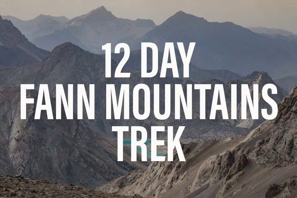
12 Day Fann Mountains Trekking Expedition, Tajikistan
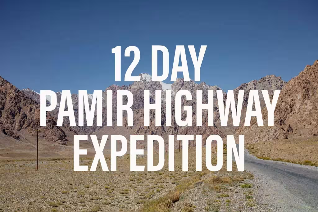
12 Day Pamir Highway Expedition
Iskanderkul & Sarytag Travel Guide
Kyzyl Art Border Crossing

Jizeu Trek in Tajikistan’s Pamir
10 Reasons to Visit the Pamirs

Tajikistan In Photos
Tajikistan Itinerary for 1-4 Weeks
Solo Female Travel in Central Asia
Khujand Travel Guide
Istaravshan Travel Guide
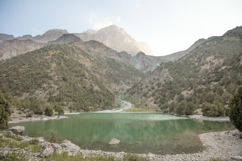
Haft Kul: Tajikistan’s 7 Lakes

Registering with Tajikistan OVIR in Dushanbe
Trekking to Turumtaikul Lake
Bartang Valley, Tajikistan
Yagnob Valley Trekking Travel Guide
Ishkashim Border Crossing
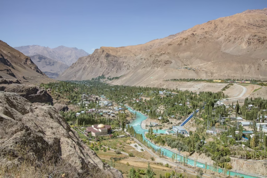
Khorog Travel Guide
Tajikistan Letter of Invitation (LOI)
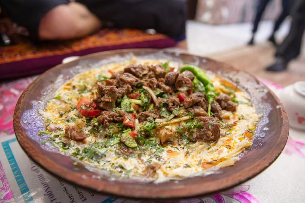
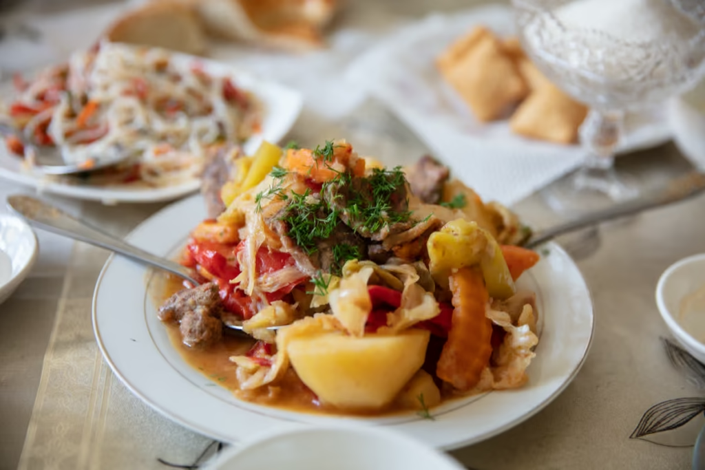
Must-Try Tajik Food
Best Road Trips in the World
Central Asia Food & Drink
10 Reasons To Visit Tajikistan
Qolma Pass Border Crossing
Tajikistan Travel Guide
Off the Beaten Path Asia
Pamir Highway Travel Guide
Top Things to Do Tajikistan
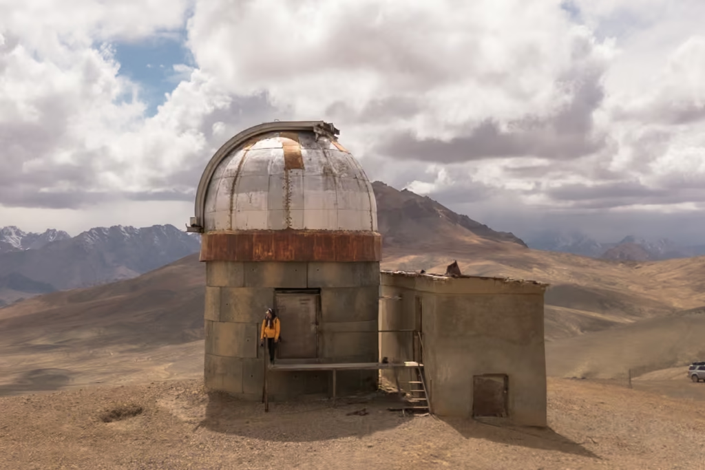
Shor Bulog Observatory, Tajikistan
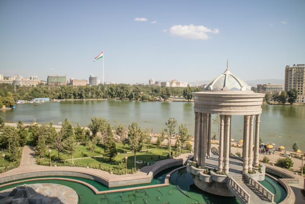
Dushanbe Travel Guide
Best Hikes in Tajikistan
Solo Female Travel in Tajikistan
Beginner’s Guide to Central Asia Travel
Panjakent Travel Guide
Pamir Highway Itinerary
Panjakent-Samarkand Border Crossing
Fann Mountains Trekking Guide
Two Week Tajikistan & Uzbekistan Itinerary
Best Restuarants in Dushanbe

How to Register Your Phone with IMEI.tj
Khatlon Travel Guide
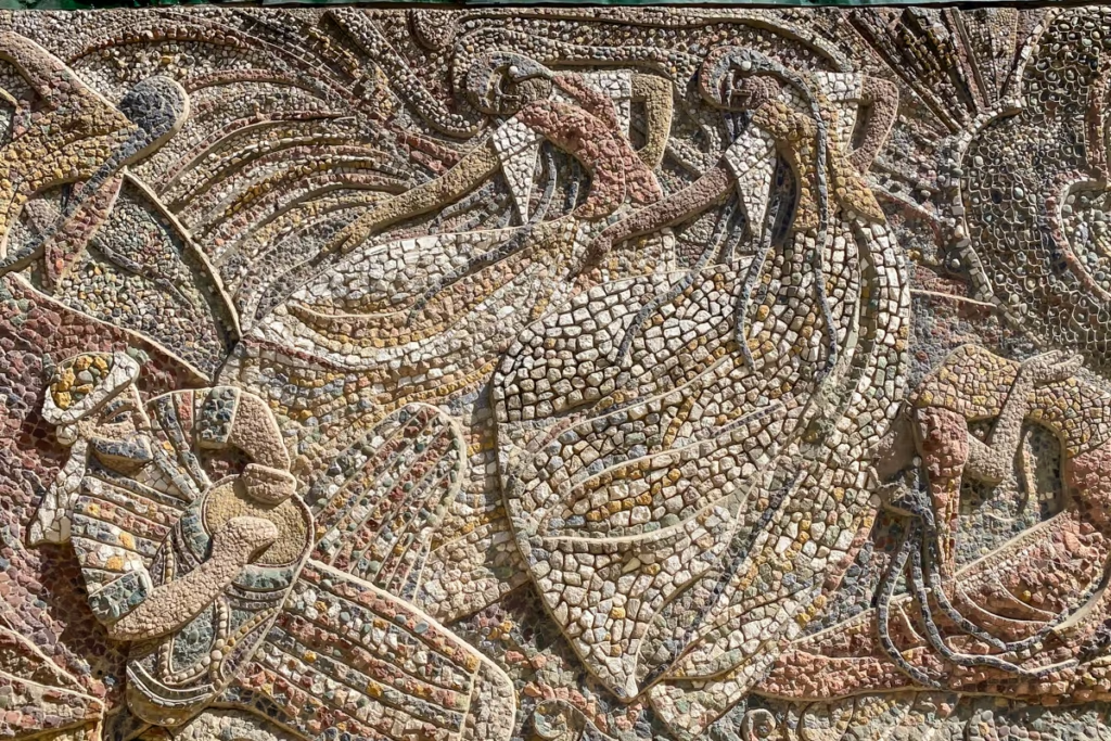
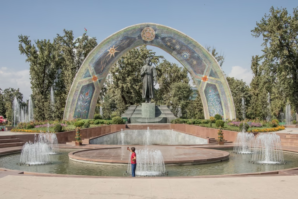
The Mosaics of Dushanbe
Best Places to Stay in Dushanbe
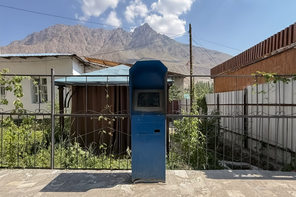
How to Use Payment Terminals in Tajikistan
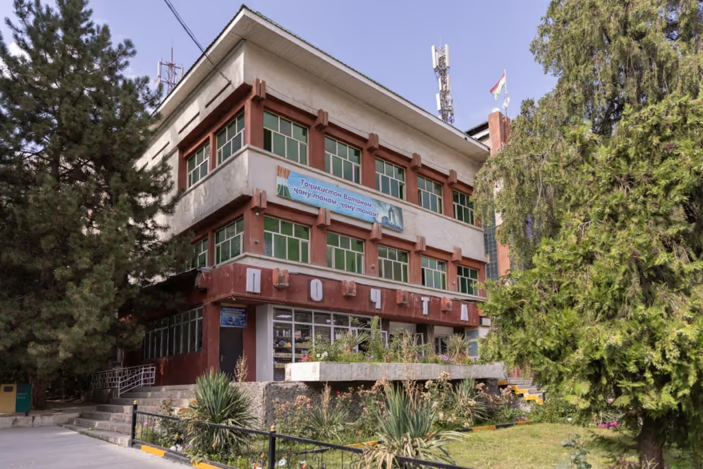
Soviet Architecture in Khorog
Vorukh: Visiting the Tajik Enclave
The Denau-Dushanbe Border Crossing
Shaimak Travel Guide Tajikistan