Eastern Pamir Travel Guide
Updated May 2026, The Eastern Pamir Travel Guide was originally written in February 2020
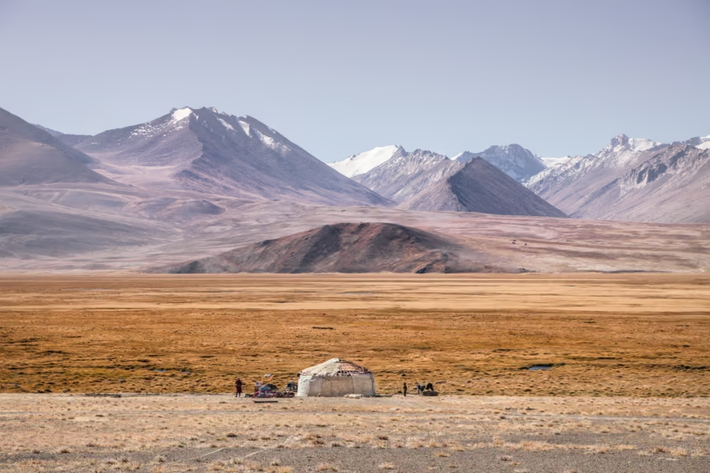
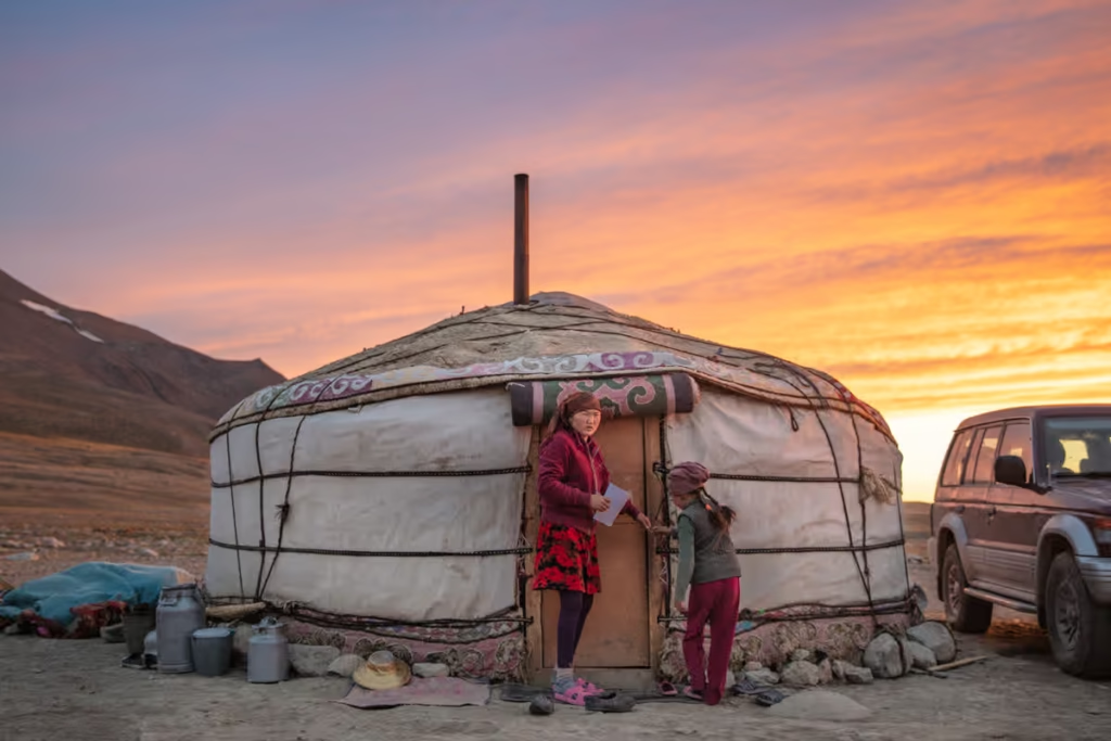
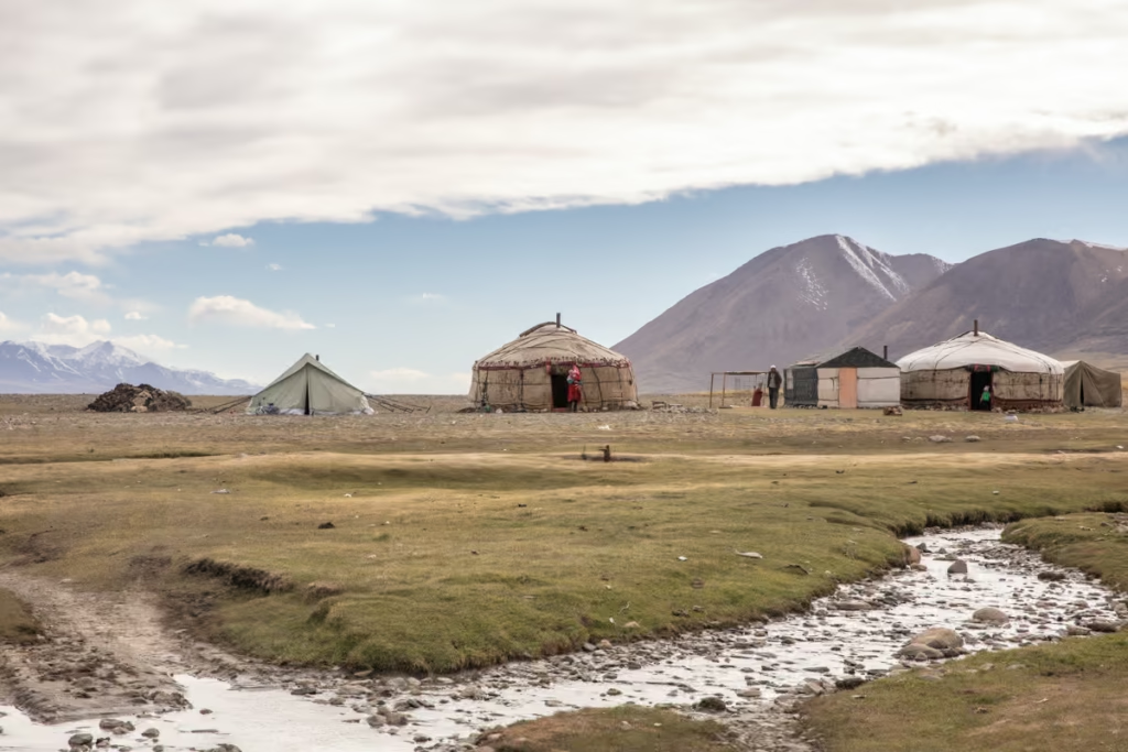
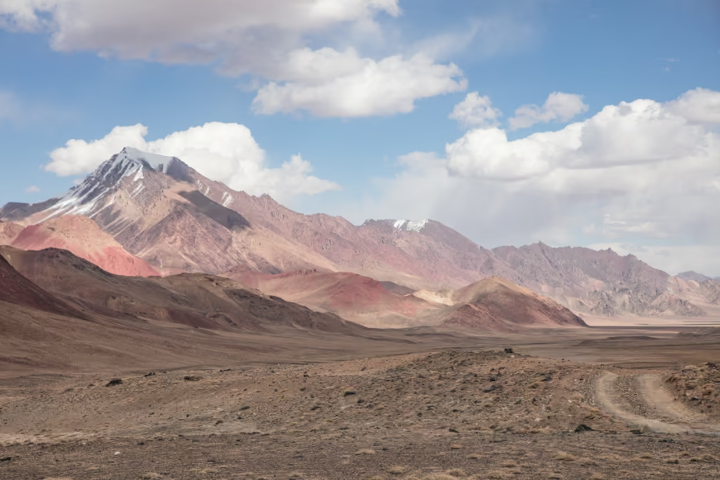
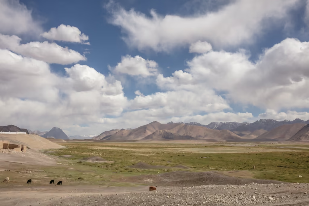
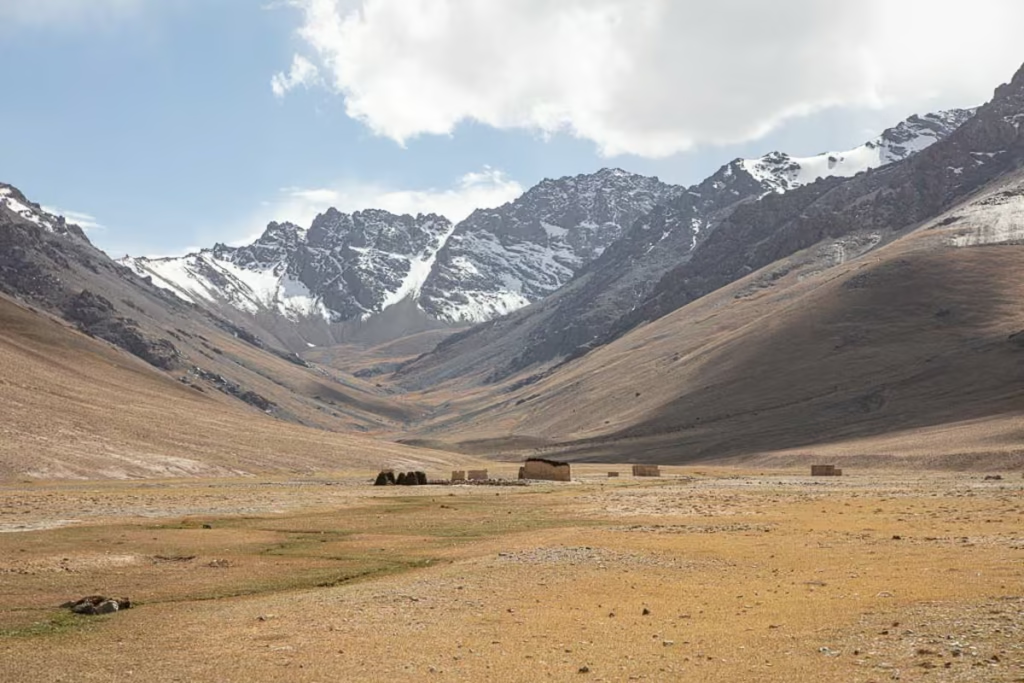
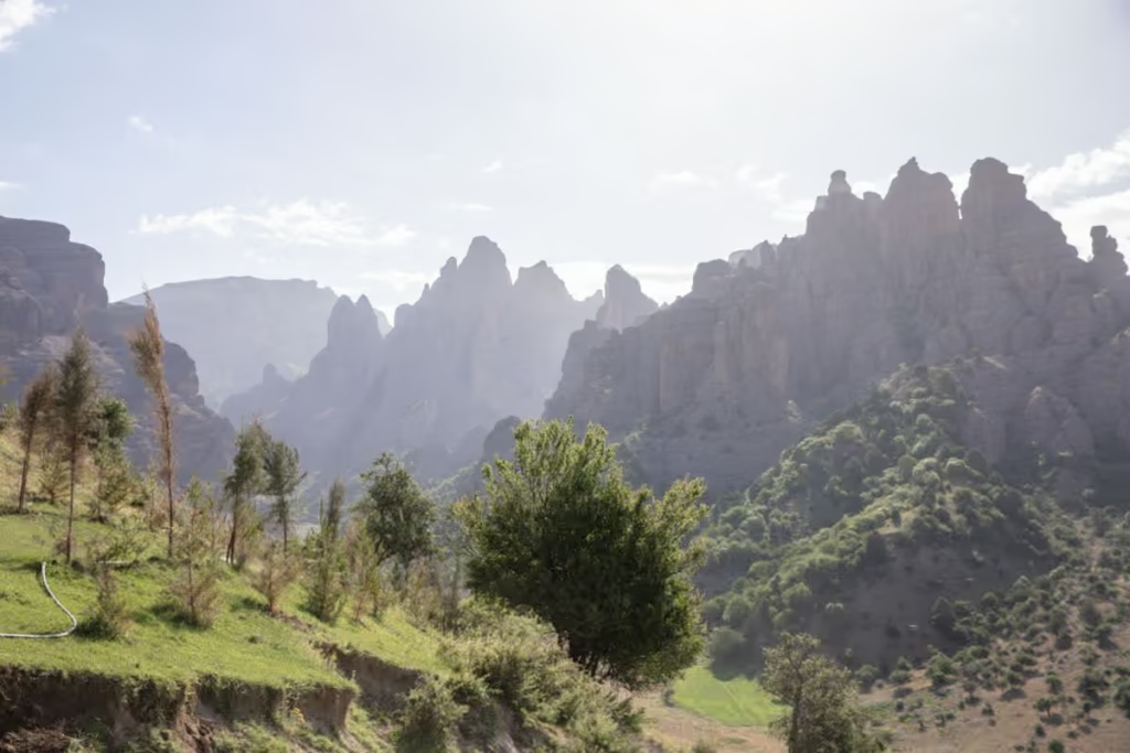
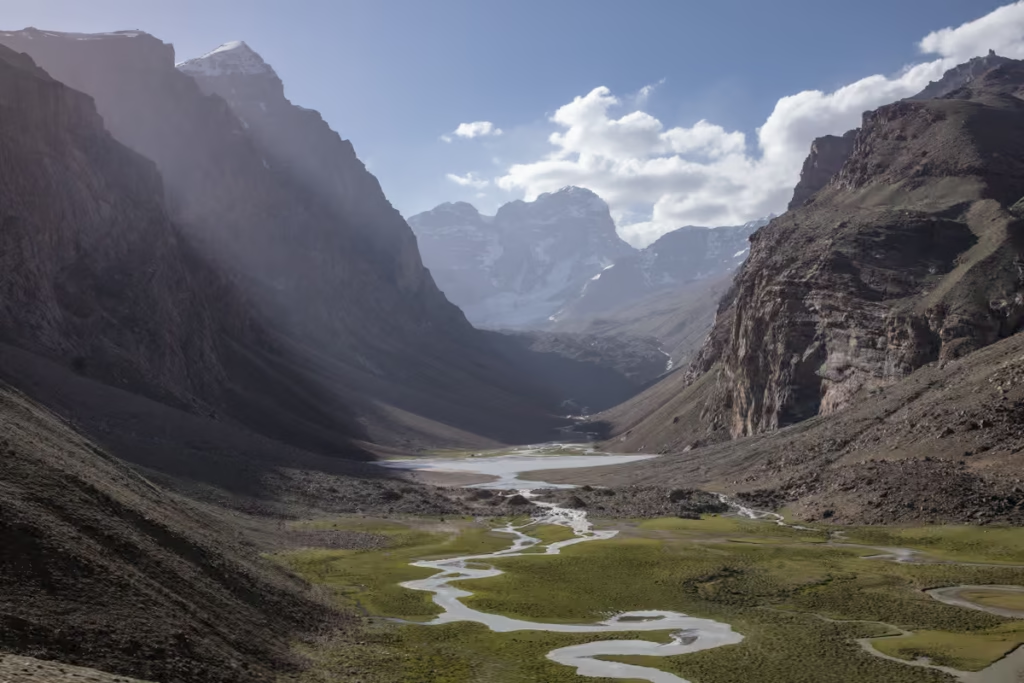
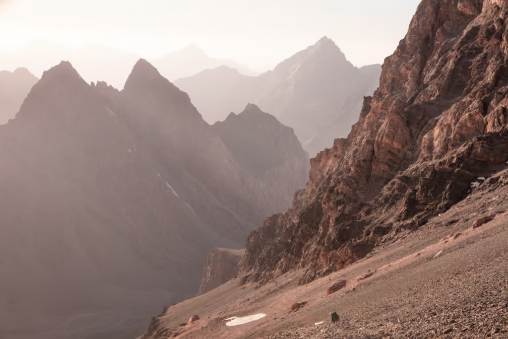
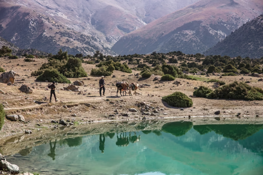
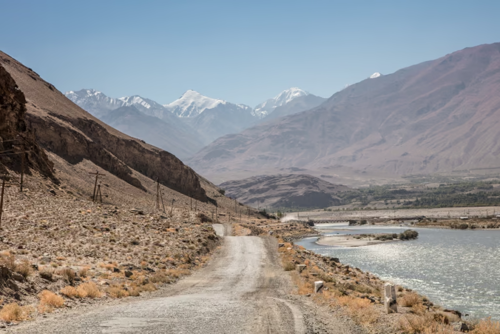
The Eastern Pamir and Murghab Plateau is the most sparsely populated region of Tajikistan. The entire area is at high altitude, with the lowest point still being at or above 3,000 meters. With terrain that is arid and stark, almost moon-like with ribbon-like rivers bisecting the land and the occasional lonely yurt dotting the horizon this is Tajikistan’s wild east.
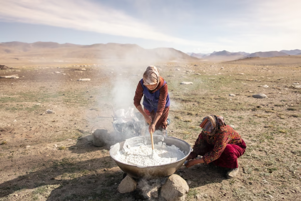
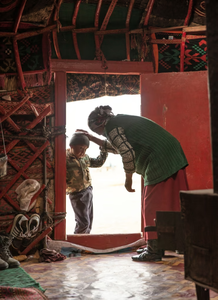
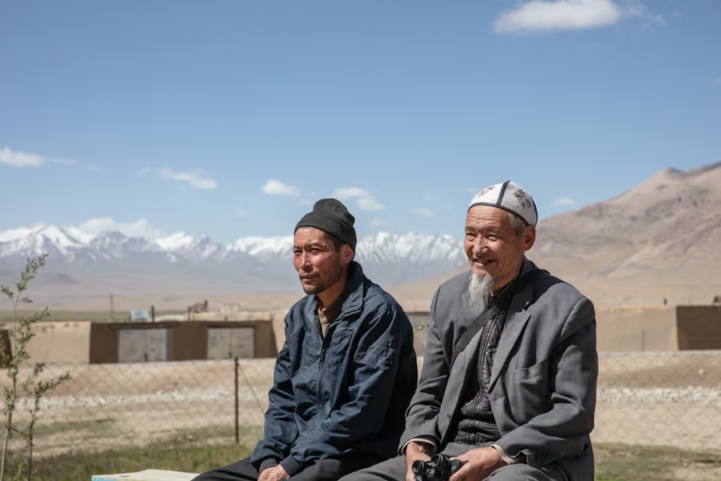
The Eastern Pamir is the true Bam i Dunya (Roof of the World). This portion of Tajikistan is inhabited mainly by ethnic Kyrgyz, many of which still live in nomadic or at least semi-nomadic tradition. The entire region is tied together largely by the Pamir Highway, though most of the real adventures don’t begin until you veer off onto a set of jeep tracks away from the main thoroughfare.
In this Eastern Pamir Travel Guide you’ll find most everything you need to know to get around and between different destinations of the East Pamir, hikes in the area, and more. I’ll be referencing destinations based on their directionality from Murghab.
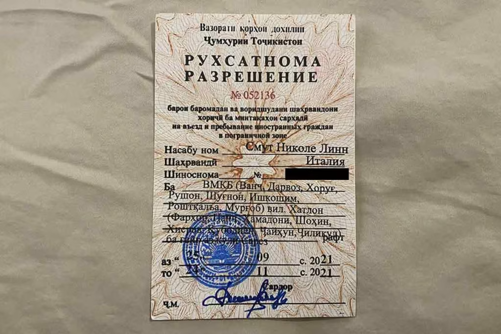
Note that you do need to have a GBAO permit in order to visit all the destinations listed in the Eastern Pamir Travel Guide. If you will be coming from Kyrgyzstan over Kyzyl Art Pass you will need to have a GBAO permit arranged in advance either on your e-visa or via the embassy you got your visa from.
If you’re coming from Dushanbe and didn’t apply for the GBAO permit on your visa or e-visa, or you came to Tajikistan with a visa on arrival, it’s possible to get a GBAO permit at the OVIR office in Dushanbe (Mirzo Turzunzade Street 5). The turnaround was 20 minutes in September 2021 and cost 20 TJS for the permit.
Start here: The Ultimate Tajikistan Travel Guide
Get a copy of the Bradt Tajikistan to help you plan your trip
Need Travel Insurance and Evacuation Services?
Start shopping for travel insurance plans over at IATI Insurance. Readers of the Adventures of Nicole get a 5% discount off your plan.
The Adventures of Nicole partners with Global Rescue to offer the world’s leading medical evacuation and security advisory services. To travel with peace of mind, explore their evacuation coverage.
Southwest of Murghab
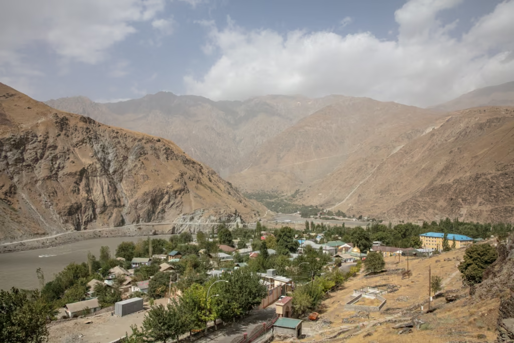
Jelondy
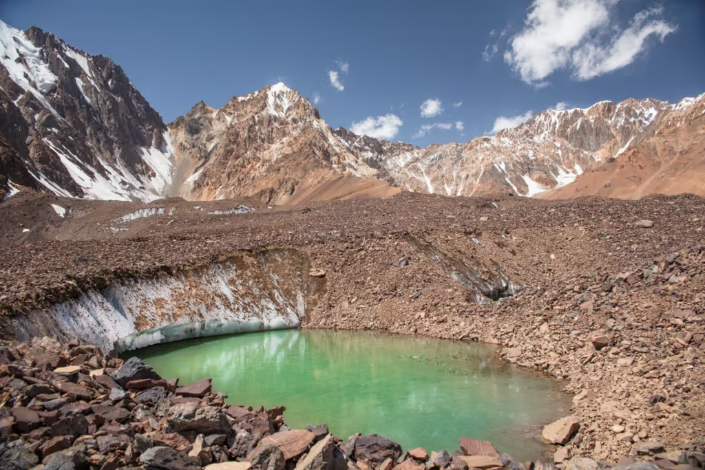
4,270 meter Koi Tezek Pass is one of the Pamir Highway’s high altitude passes with lunar-like landscapes abound. It’s possible to trek into the side valleys north and south of Koi Tezek Pass to explore mountain lakes in the area. For those that want to get in a straightforward 5,700 meter summit, check out climbing Peak Kyzyldong which is accessible by hike from Koi Tezek Pass.
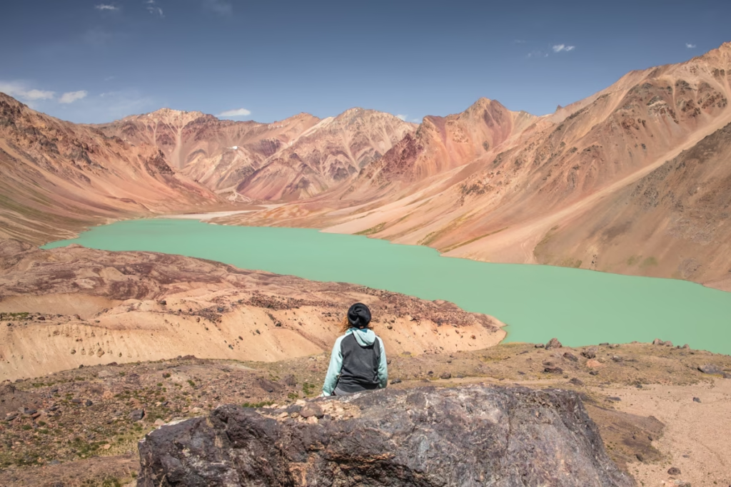
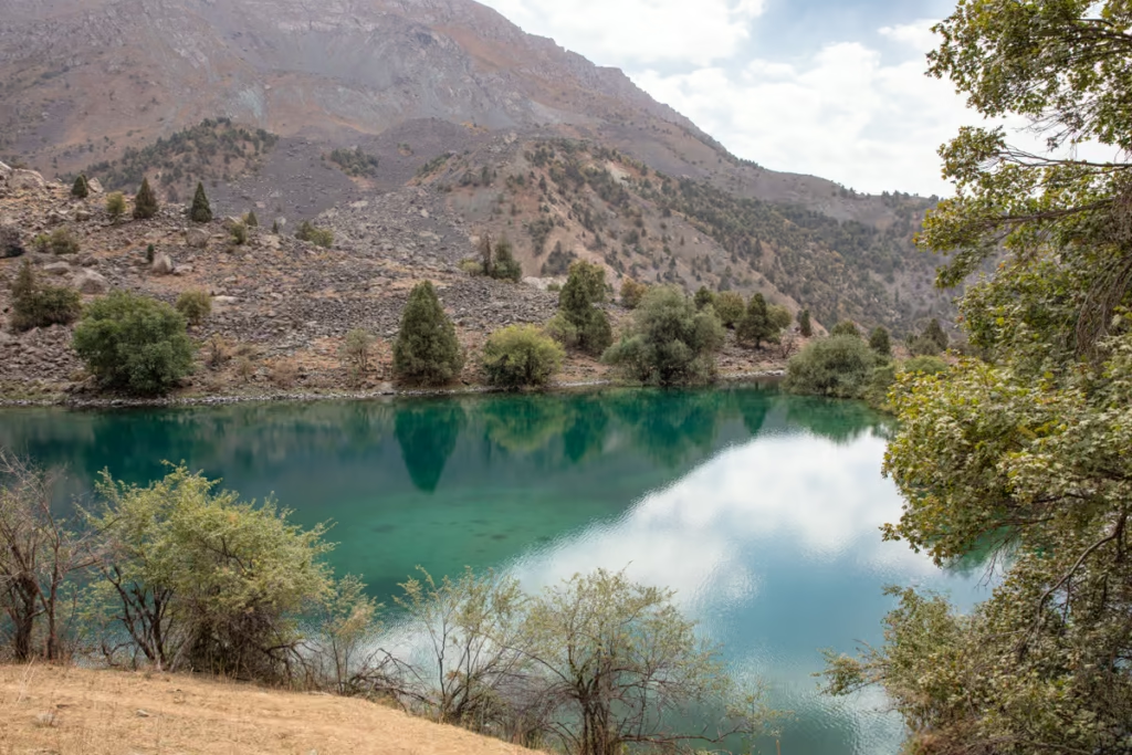
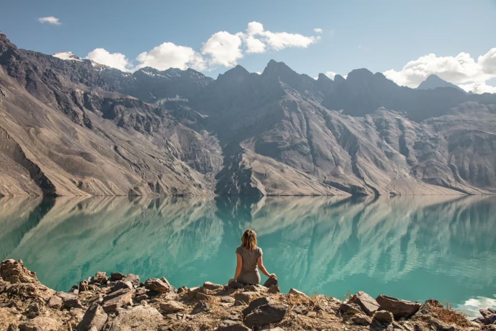
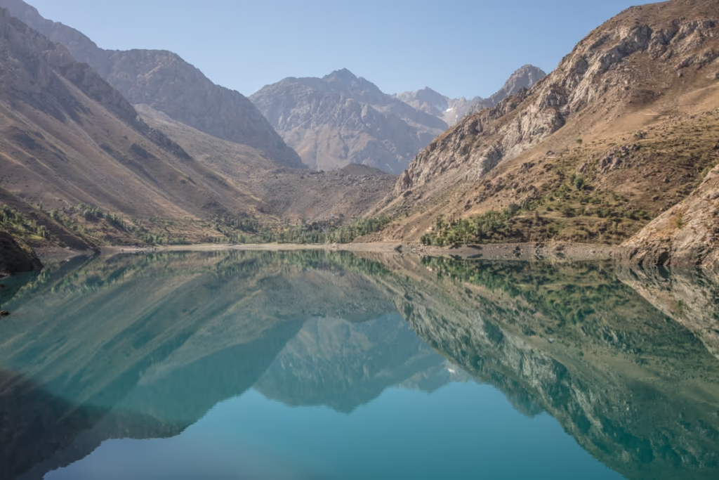
Bulunkul & Yashilkul
Just beyond Koi Tezek Pass, a road bends north off the Pamir Highway to Bulunkul and Yashilkul. Bulunkul is a small village on a lake by the same name.
Bulunkul sees temperatures that plummet below -40ºC in winter, making it the coldest destination in all of Tajikistan. Yashilkul, a larger lake, green in color is just a bit beyond. Several different hikes start/end or pass through here.
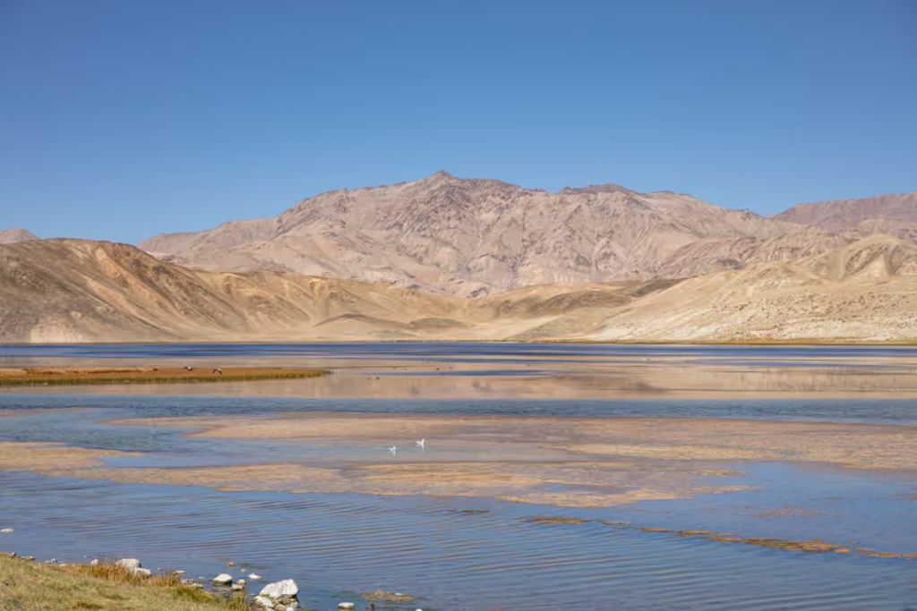
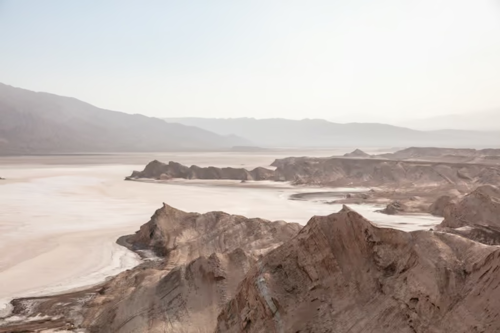
Sassykul & Tuzkul
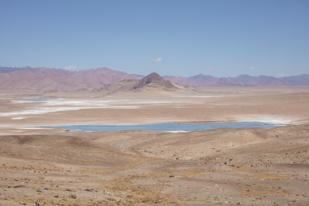
Just east of the junction of the Pamir Highway with the Wakhan Valley Road coming up over Khargush Pass are the two lakes of Sassykul and Tuzkul. Sassykul, meaning ‘stinky lake’ reeks of rotten eggs thanks to the sulfur gas released from it. Tuzkul gains its name from its salinity.
Coming from or going to the Tajik Wakhan via Khargush Pass? Check out my Tajik Wakhan Travel Guide
Zorkul

Zorkul requires a permit obtainable from the PECTA office in Khorog or from the Tajik National Park Office in Murghab to visit the lake and nature reserve that straddles the Tajik and Afghan borders. Zorkul sits south of the Pamir Highway. Most travelers visit Zorkul after the Tajik Wakhan via Khargush Pass.
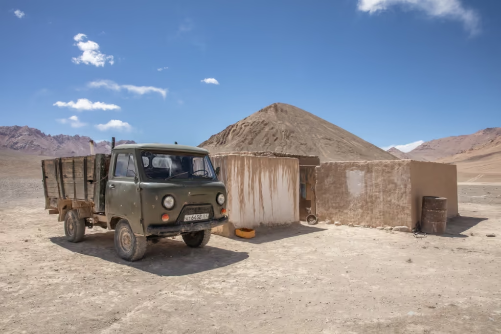
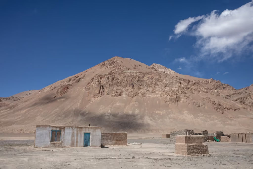
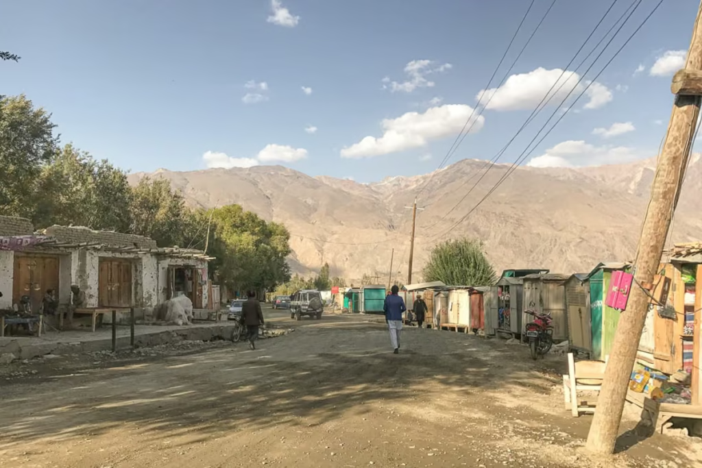
Alichur
Alichur is a village made up of a scattering of homes along the M41. Several homes will be signposted ‘столовая’ meaning canteen in Russian, that serve as guesthouses.
Most travelers blast past Alichur or stop for a quick meal at the main restaurant in the village. I have spent a few nights out here in Alichur and while it’s not the most happening place, the Kyrgyz locals are quite friendly and always seem to tour me around the village.
From Alichur it’s possible to start (or end treks) to Bazardara Valley & Peak Alichur; Zorkul Lake; and to Yashilkul or Bulunkul and beyond to Bachor and even Lake Sarez.
Heading out on the Pamir Highway? Check out my Pamir Highway Travel Guide to start planning
Want a perfect itinerary? Check out the 10 day Pamir Highway itinerary
Ak Balyk
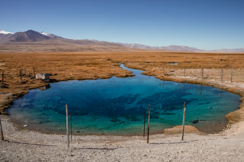

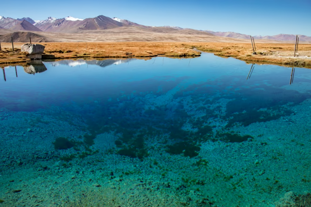
Ak Balyk, meaning white fish pond in Kyrgyz is a holy spring about 12 kilometers east of Alichur. Ak Balyk is best viewed in the morning before the wind picks up as it is crystal clear down to the bottom. There’s a small столовая next to it serving up fresh fish.
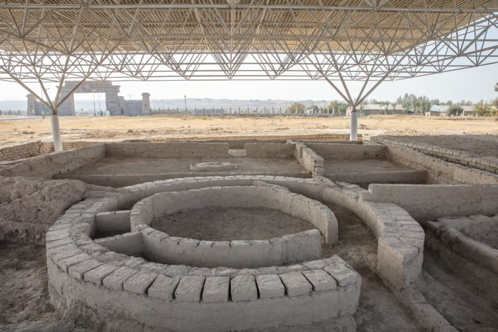
Bash Gumbez
Bash Gumbez is located about 30 kilometers east of Alichur. To get there, turn off the M41 at KM858 and follow the track about 7 kilometers down to the village of Bash Gumbez.
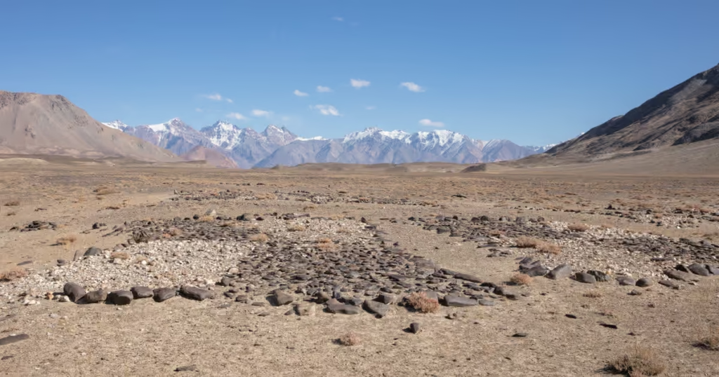
Bash Gumbez was an ancient caravanserai. About 3 kilometers outside the village you’ll find an interesting Buddhist Tomb.
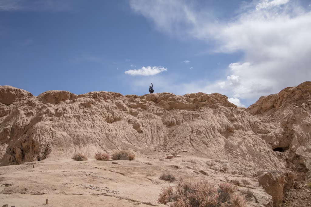
Shakhty Cave Drawings

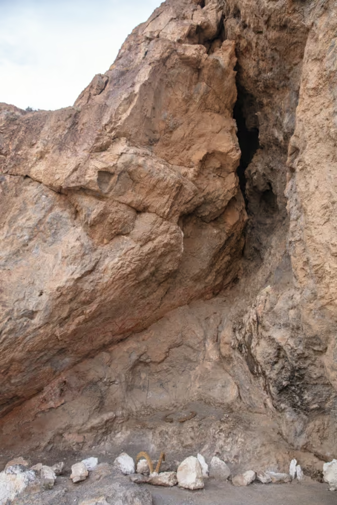
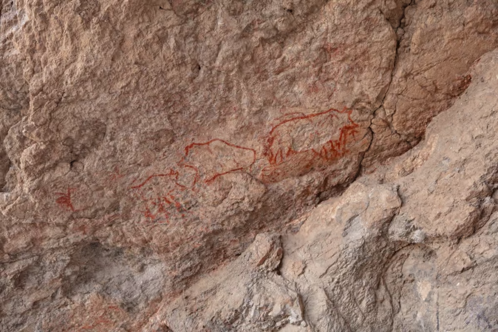
Shakhty is home to red ink cave drawings, accessible by a few minutes walk up a hill. The cave drawings depict a boar hunt from the Neolithic era. Soviet archaeologists found the Shakhty Cave Drawings by accident after seeking shelter in the cave one night back in 1958.
There is an interpretive sign just outside the cave.
Truth be told after visiting Shakhty, it’s not the most exciting spot unless you’re into petroglyphs and archaeology, so I wouldn’t make the journey to visit Shakhty on its own, however, it’s worth a stop in my opinion if you happen to be passing near the area.
Jarty Gumbez
Jarty Gumbez is a Marco Polo sheep hunting camp and hot spring. You can reach Jarty Gumbez several ways, the most common is to take the jeep tracks headed southeastward off the M41 where the Highway comes close to the Karasuu River (just a hair south of the village of Karasuu). The tracks pass Shakhty (I’ll talk about Shakhty a little later in this post) on the way to Jarty Gumbez.
Another way is to follow tracks from Cheshtebe that follow the Ystyk River to the west and then southward to Jarty Gumbez.
The third comes from Zorkul (permit required) and passes Kulikukjigit and Kulikaradung Lakes.
In the months of November to April, Jarty Gumbez serves as a hunting camp and base for Marco Polo sheep hunters. From May to October, the hunting camp is open to tourists wanting to spend a night out here. The family that runs the camp is very welcoming. A room costs $35 USD/night including full board.
Sary Goram
Following the tracks along the Ystyk River south from Jarty Gumbez will eventually bring you to the point at which the Ystyk meets with the Sherarykjilga River that will eventually lead to the area of Sary Goram.
In summer you can typically find nomadic Kyrgyz family yurts around Sary Goram. Sary Goram is just opposite the border from the Afghan Wakhan’s Little Pamir Mountains that dominate the southern views from Sary Goram. Just on the other side of the little Pamir Mountains is Chaqmaqtin Lake.
Very few travelers visit Sary Goram, so don’t be surprised when families wave your vehicle over to join in on chai or a meal.
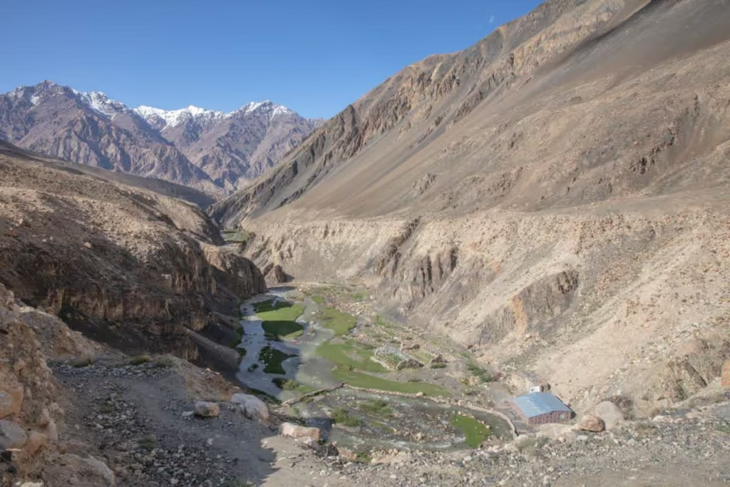
Cheshtebe
Cheshtebe is located west of Toktymush as mentioned before. You’ll follow jeep tracks westward, and after passing through a cool canyon the tracks will bend southwest as the tracks fork with a path going northwest. Shortly after the tracks merge you’ll find yourself in the tiny settlement of Cheshtebe.
If you’re coming from Sary Goram and Jarty Gumbez you can reach Cheshtebe by following the jeep tracks north along the Ystyk River and then east as the river bends and passes Cheshtebe. There are also tracks that connect Shaimak to Cheshtebe via Kyzylrabot.
Cheshtebe is located at the junction of the Ystyk and Jamanshura (also spelled Dzamanshura) Rivers. Cheshtebe is not much more than a scattering of white and blue stone homes.
Don’t be surprised if one of the women waved you into her home for chai. I had an unusually good tomato salad in one woman’s home here. I say unusual because nothing grows at these arid altitudes.
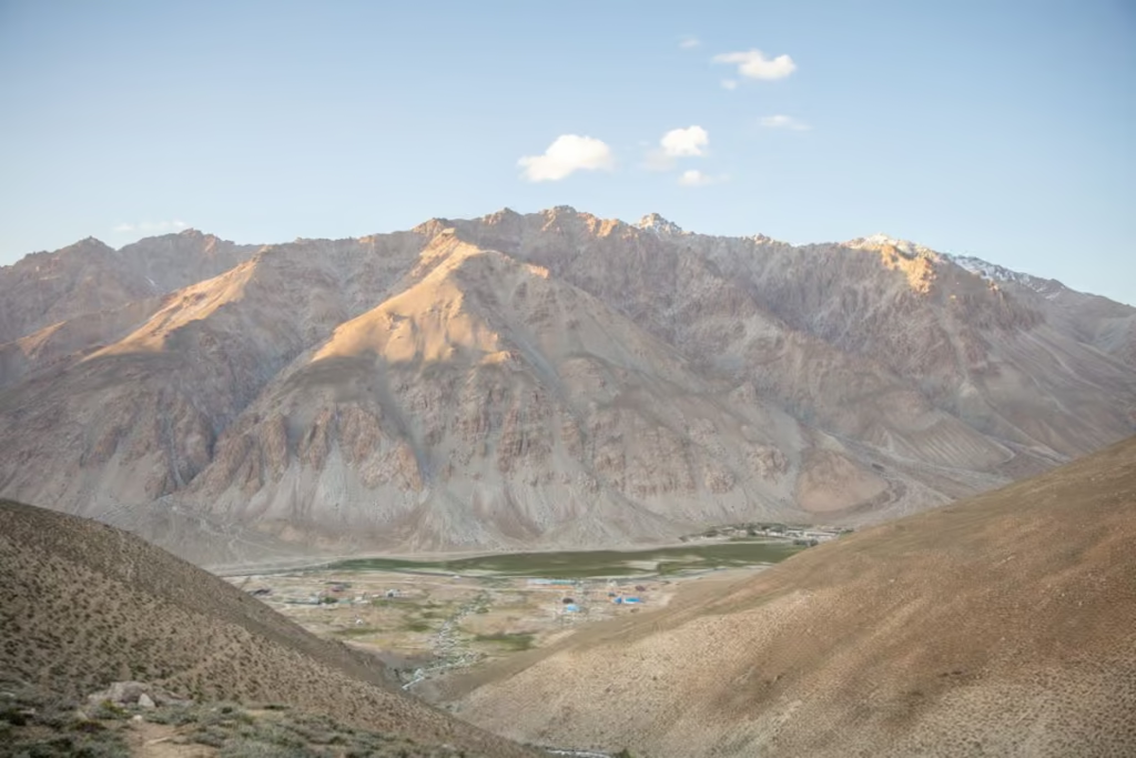
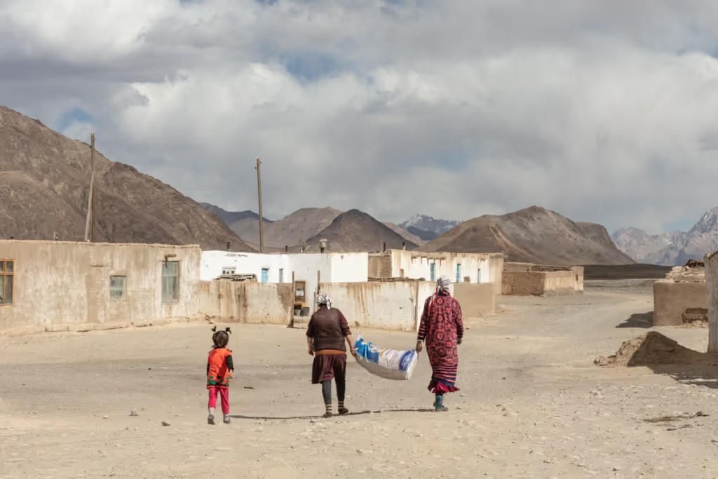
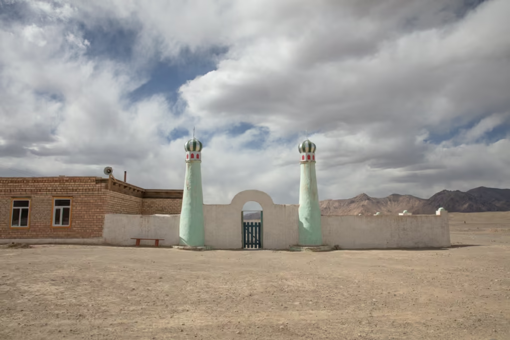
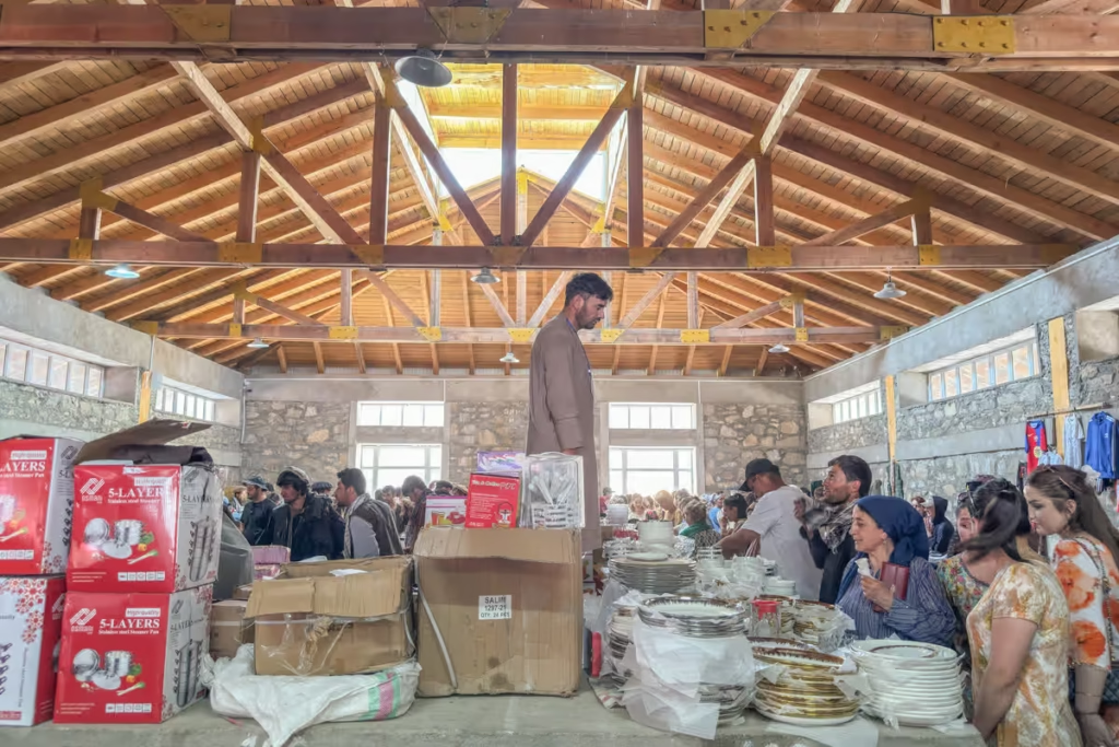
Murghab
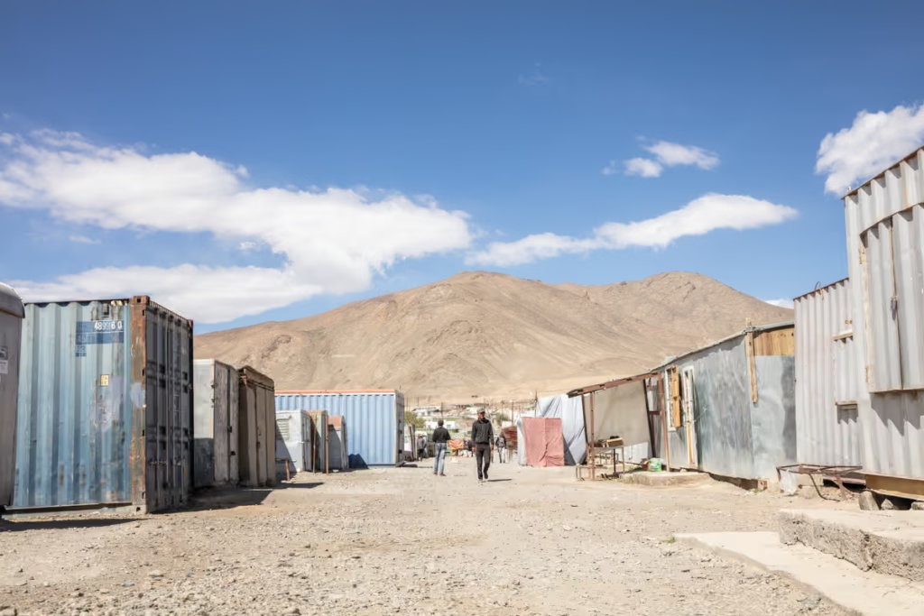
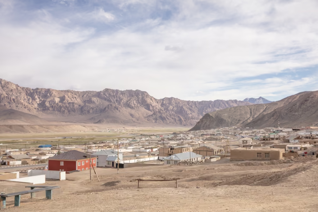
Murghab is the ‘big city’ in the Eastern Pamir, don’t set the bar too high- Murghab is a ramshackle scattering of white block homes with blue trim around a shipping container bazaar. For tourists, there isn’t much to do and see in Murghab itself, but the rugged town serves as a good base for further explorations of the East Pamir and for resting between adventures. Read more information on Murghab
Read more: The Murghab Travel Guide
Where to Stay in Murghab
Tulfabek Homestay
70 TJS night, dorm bed with dinner/breakfast
| +992935389159 |
Erali Guesthouse
200 TJS/night, dorm bed with dinner/breakfast
| +992563751421618 |
Pamir Hotel
200 TJS/night, dorm bed
| +992355421762 |
Note that many of Murghab’s guesthouses, homestays, and hotels all shut in October-November until spring. It’s best to ask a local operator to find a local family willing to host you for a small fee if you’ll be visiting in the off-season.
North of Murghab
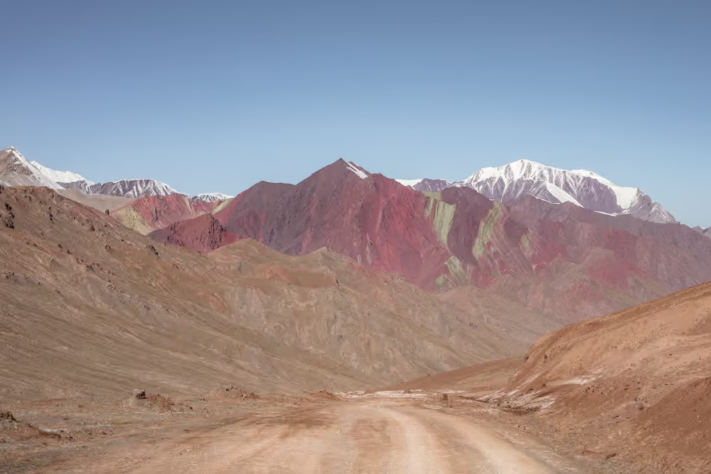
Pshart Valley
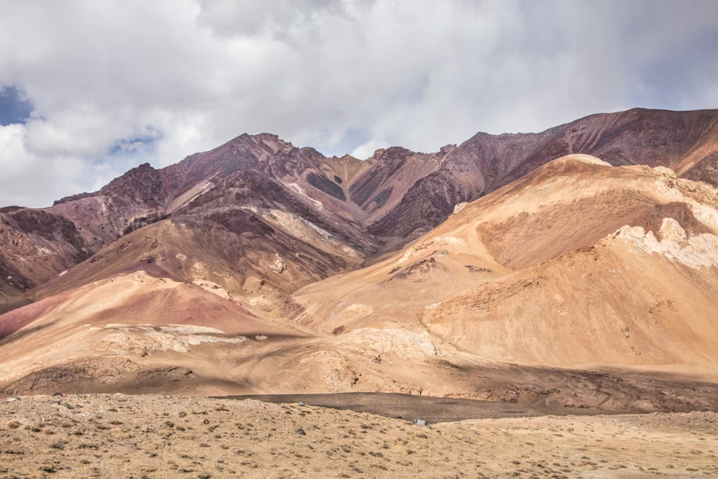
Rainbow-swirled in colors, Pshart Valley is located just north of Murghab. Head west from the M41 and continue down the jeep tracks into the valley. You’ll pass by a few yurt settlements typically. Depending on the conditions of the tracks you can at times reach Kok Jar.
One of the main draws for the few that visit Pshart Valley is to climb up and over 4,730 meter Gumbezkul Pass to connect to the Madiyan Valley just south of Pshart.
Take a hike: The 10 best treks in Tajikistan
Read up on the trek over Gumbezkul Pass and end it with a soak in Madiyan Hot Springs
Rangkul
Rangkul is reachable by turning off the Pamir Hiway towards to northeast, north of Murghab. Rangkul is worth a night or two to explore the salt lakes and epic sand dunes of the high desert-like plateau. Some of the yurt camps in Rangkul offer camel trekking in the area.
Most days there is a shared taxi that departs the Murghab Bazaar, or you can contact a local agent to arrange a trip out here.
Ak Baital Pass
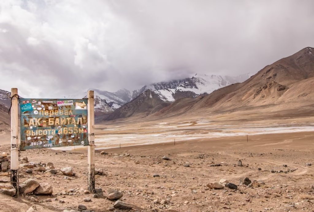
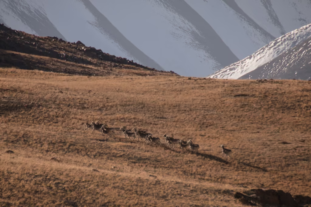
4,655 meter Ak Baital Pass is the highest point on the Pamir Highway. Keep your eyes peeled for Marco Polo sheep in the mountains on either side of the pass. Snow isn’t unheard of in Ak Baital Pass, even in the dead of summer.
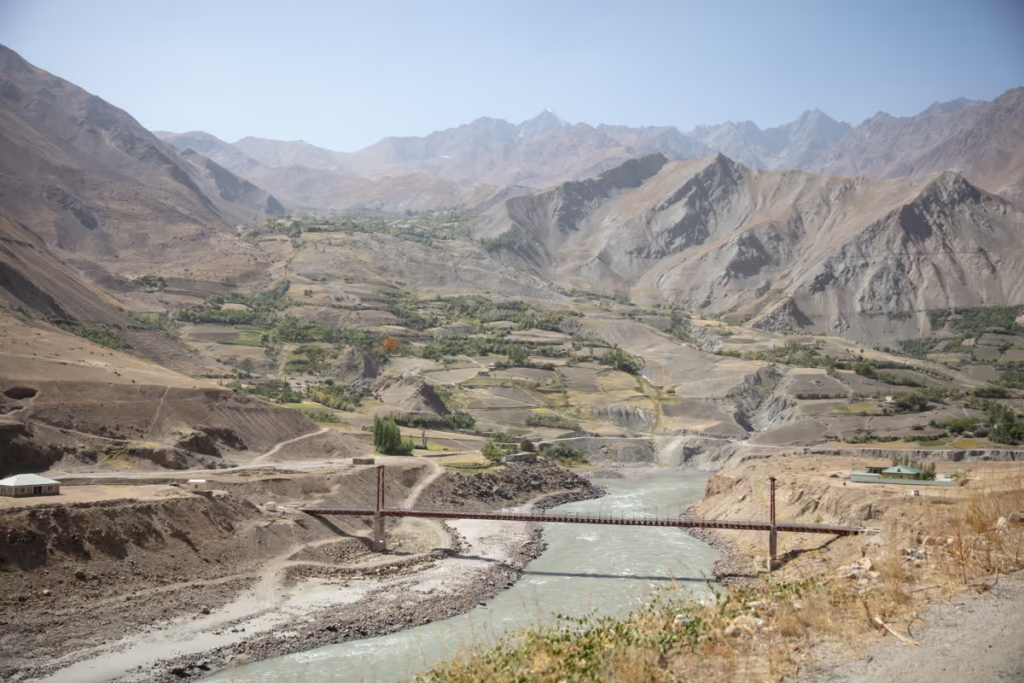
Tanymas & Bartang Valleys
Just south of Karakul Lake a track leads off of the Pamir Highway westward that will take you to Shurali, home to a set of geoglyphs, and Kök Jar viewpoint with epic views of the Tamymas River as it ours out from glaciers further afield in Tajikistan’s gnarl of highest peaks.
After Kök Jar the track turns south to travel along the Tanymas Valley that comes down from Fedchenko Glacier. The track then continues southwest to Ghudara and to enter the Bartang Valley. It’s not uncommon for this route to be impassable due to flooding or landslides.
Enquire with local agents if the route is possible, though August-October are generally the best months to try it.
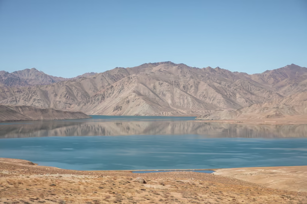
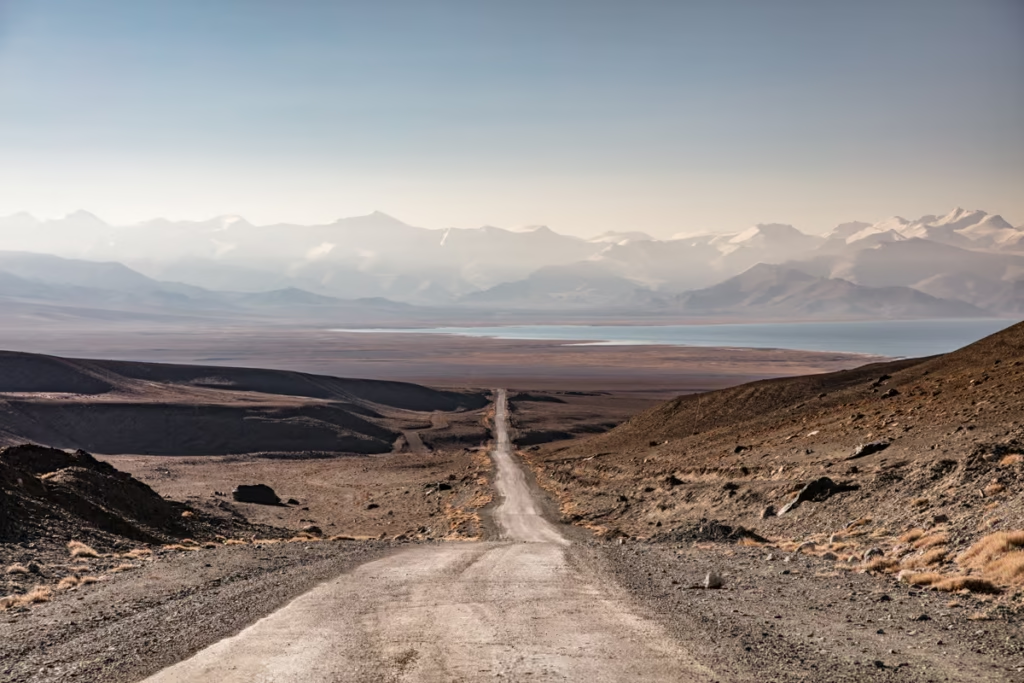
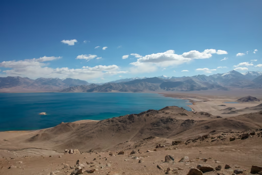
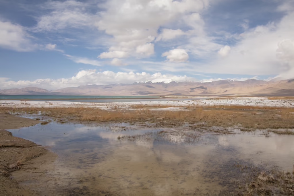
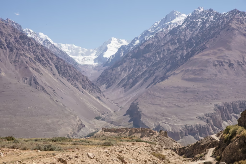
Karakul Lake & Village
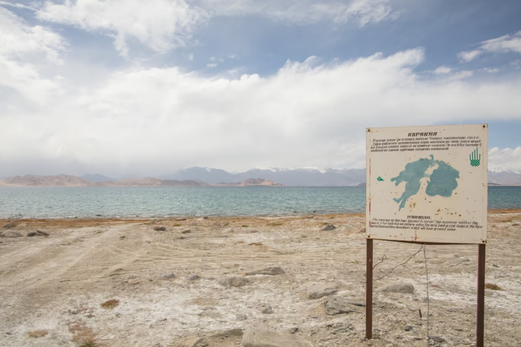
Karakul is Tajikistan’s largest lake, the result of an impact crater with a shoreside village of the same name. Technically Karakul is among the highest navigable bodies of water on earth.
Several homestays can be found in the village, though most travelers only stop for lunch. I recommend spending a night here en route to spend a day exploring around the lake and to check out the village.
Plan your visit to Karakul: The Karakul Travel Guide
Kyzyl Art Pass

Kyzyl Art Pass is the final stop along the Pamir Highway before crossing the border into Kyrgyzstan. Make sure to stop if you can on the way up the border to Kyrgyzstan (or down if you’re just starting your adventure!) for amazing views of the highway and lake Karakul in the distance. There’s a long strip of no-man’s-land between the two countries with colorful mountains and tumbling glaciers.
Everything you need to know before crossing Kyzyl Art Pass and read my Kyrgyzstan Travel Guide to plan your trip
South of Murghab
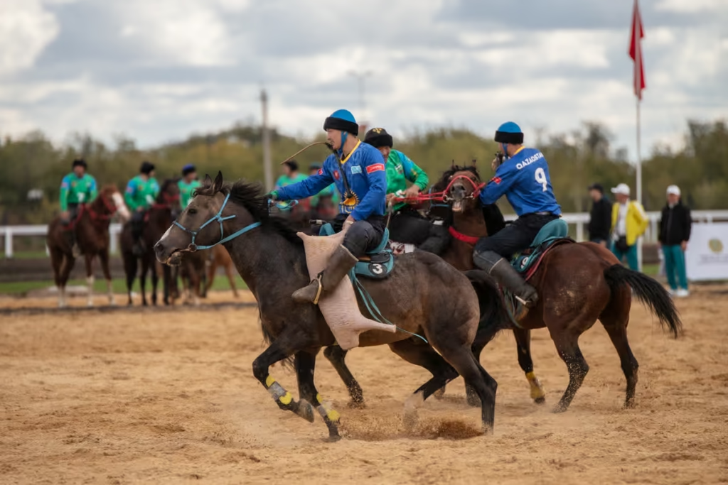
At Chabysh Festival
At Chabysh is held the second week of August each year in a location about 5 kilometers south of Murghab celebrating Kyrgyz horse sports such as Kok Boru/Buzkashi and horse wrestling, as well as Kyrgyz music and traditions. During the festival head to the Murghab Bazaar to find shared taxis departing toward At Chabysh.
Madiyan Valley
Madiyan Valley as mentioned about is reachable by a 1-2 day over Gumbezkul Pass, or by jeep track that bends west off the Pamir Highway south of Murghab. The other draw to visiting Madiyan Valley is the Madiyan Hotsprings, located about 9 kilometers up the valley and across a river, en route you’ll pass the hamlet of Ak Tal.
Ak Suu Valley
Kunye Kurgan Tombs
Follow the road that veers east from the north side of Murghab to begin your journey toward the Ak Suu Valley. Kunye Kurgan is the first site you’ll pass, about 7 kilometers outside of Murghab. Commonly nicknamed the ‘beehive tombs’.
Ak Bura Meteor Crater
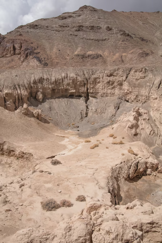
Past the settlement of Surbashi, the road will veer southwards. Shortly after you’ll notice jeep tracks that meander off towards the southwest. If you follow these out, you can cross the Ak Suu River at a shallow point and continue on to the Ak Bura Meteor Crater.
I actually do not know any details about Ak Bura aside from it being a meteor strike.
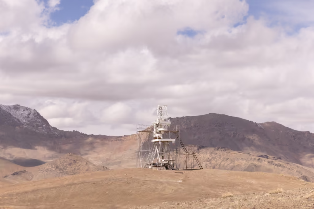
Shor Bulak Observatory
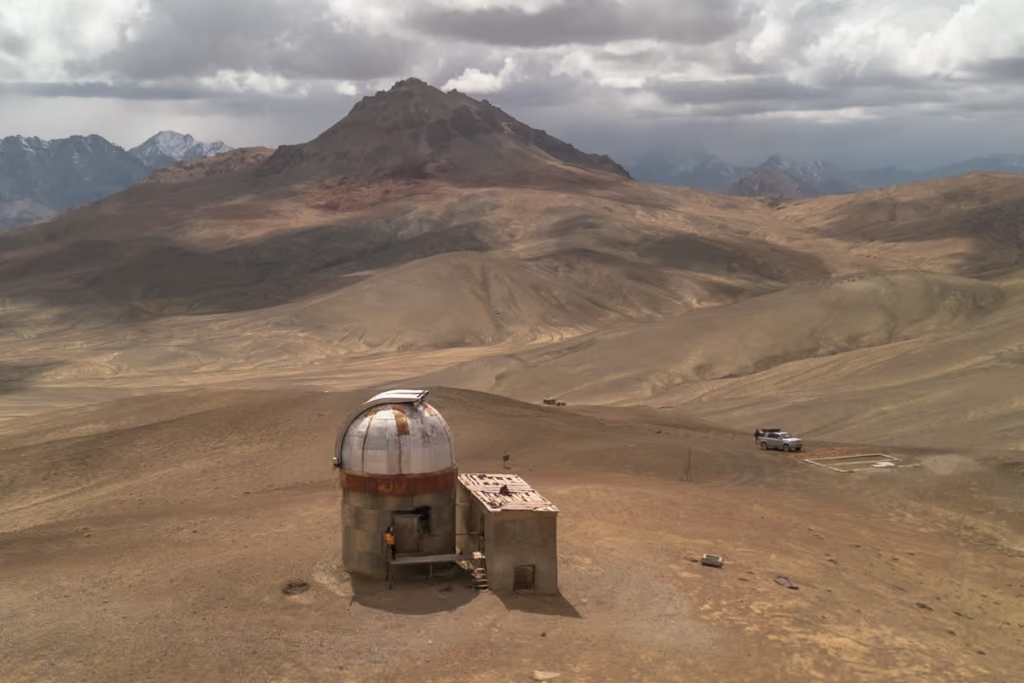
Shor Bulak Observatory is closed to foreigners and set in the complete middle of nowhere. Continuing westward along Jeep tracks that follow the stream from Ak Bura to reach Shor Bulak, which sits almost directly south of Konye Kurgan.
Qolma Pass
After you pass the turn-off for Ak Bura Meteor Strike, the main road continues eastward. Eventually, the road forks, if you continue along the main road you’ll head up to the Qolma Pass Border Crossing with China’s far west Xinjiang Province. Once into China, you can continue southward toward Tashkurgan and the Pakistani border, or northward toward Kashgar and Urumqi.
Everything you need to know about the Qolma Pass Border Crossing between Tajikistan & China
Toktymush
At the above-mentioned fork in the road, continue south along the Ak Suu Valley, eventually to Shaimak. In route, you’ll pass through the village of Toktymush.
Toktymush is located about a kilometer north of where the Ak Suu and Sulistyk Rivers fork. The village feels like a dusty outpost with sweeping views over the river framed by green jailoo.
The local women are quite friendly and will probably invite you in for tea. A couple of them do speak some basic English.
On the track south of town on the way to Shaimak, you’ll pass a couple of alpine lakes, one of the more appealing being Kyzylkul.
Following a side track west from Toktymush will take you to eventually pass through a really pretty canyon and onto Cheshtebe.
Shaimak
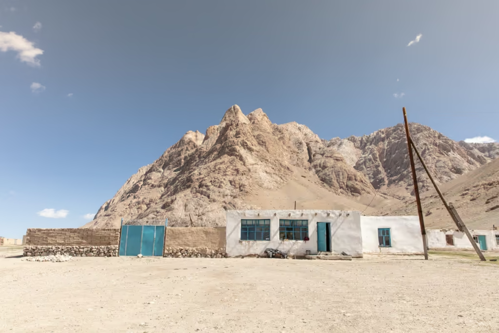
Shaimak is the edge of the world, once a strategic point in the Great Game when the British Empire and Russia vied for control of Central Asia. From Shaimak you can see into China, into the narrow Wakhan Corridor of Afghanistan, and into the Hindu Kush Mountains of Northern Pakistan.
Now that the Great Game has settled, Shaimak is mostly a village comprised of mostly Kyrgyz families, whose white stone and blue-trimmer homes are loomed over by craggy Ak Tash.
The track does continue southwards to the settlement of Kyzylrabot, but it’s quite common for the military to deny access to Kyzylrabot.
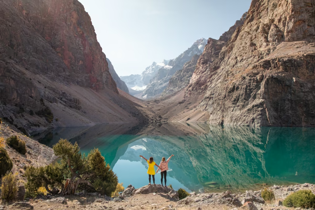
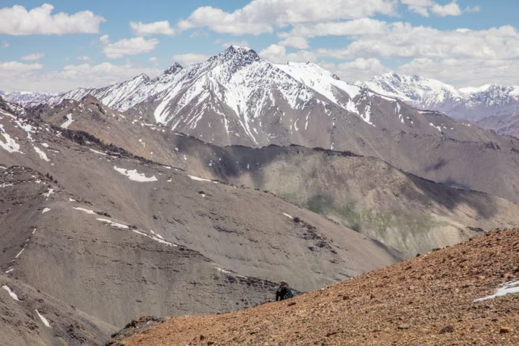
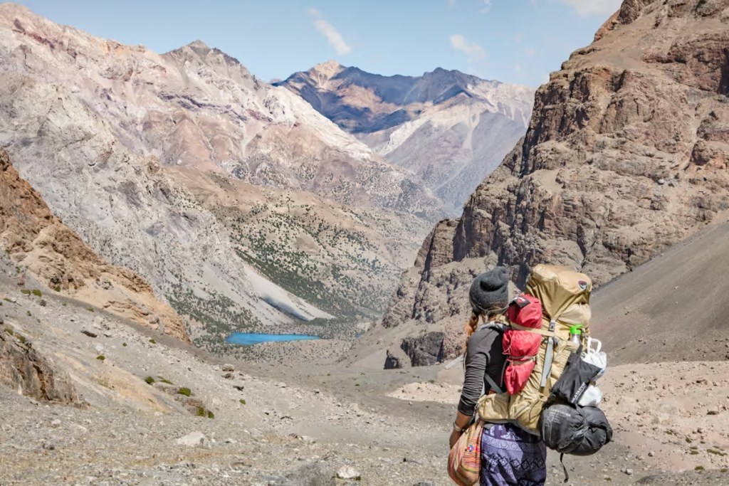
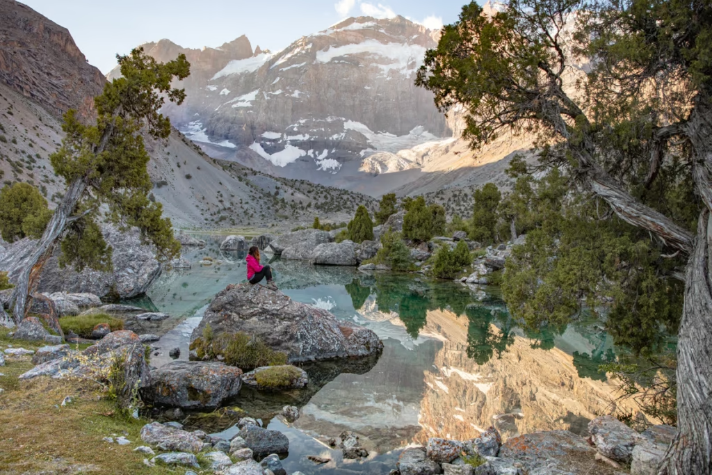
Hiking in the Eastern Pamir
There are plenty of hiking options in the Eastern Pamir. Trekking in the Eastern Pamir is no small feat- with the lowest elevation being 3,000 meters, all of the region is ridiculously high, so care should be taken to avoid altitude sickness as you will routinely find yourself at altitudes over 4,000 meters. For trekking ideas in Tajikistan, I recommend you pick up the Trekking in Tajikistan book, written by my friend Jan Bakker.
Aral Yuj (South Aral Peak Hike)
From the village of Karakul follow a set of keep tracks that veer off the Pamir Highway at the southern edge of Karakul Lake for about 15 km to reach the start of the short trek to the top of Aral Yuj Peak (translates to South Aral Peak in English). The trek is about 4.5 km in total (2.25 km each way) bringing you to an elevation of almost 4,300 meters with stunning views of Karakul below.
The best way to reach the start of the trek is to have your accommodation in Karakul rustle up a driver to take you there, wait the 3 hours or so it takes you to complete it, and then bring you back to Karakul. This trek also makes a perfect addition to anyone taking on the full Bartang Highway route between Karakul and Rushan.
Gumbezkul Pass (Pshart-Madiyan Valleys)
4,730 meter Gumbezul Pass connects Pshart Valley and Madiyan Valley. The trek is roughly 17 kilometers in length from valley to valley, with some opting to cross it in one long day hike, while others opt to split it into two.
I finally made the trek up and over Gumbezkul Pass from Pshart Valley to Madiyan Valley in 2021. It’s a fairly easy walk up, going down you’ll be sliding down in some rocks, but still not too bad. The trek makes for a good warmup for those wanting to take on bigger treks in the wild Eastern Pamir Mountains.
If you’re trekking from Pshart to Madiyan it’s worth heading back to Madiyan Hot Spring to relax. You can arrange 4WDs to pick you up from either Madiyan or Pshart Valleys before you depart Murghab.
From Madiyan Hot Spring it’s possible to continue into Bazardara Valley and eventually onto Alichur (more on that below).
Bazardara & Alichur Valleys
About 10 km east of Alichur you can drive right to the foot of Bazardara Pass to begin (or end) your trek. Over Bazardara Pass there is a ruin. From there you can either loop back around toward Alichur, or continue up to meet with the Madiyan Valley.
Bash Gumbez to Zorkul
Starting from Bash Gumbez in the morning a trek southeast will bring you to Uchkul Lake by the evening. From Uchkul, another day of hiking will bring you south to the shores of Zorkul Lake. Make sure you’ve gotten a Zorkul Permit ahead of time, they’re available from the PECTA office in Khorog and at the Tajik National Park Office in Murghab.
Alichur to Yashilkul
You can trek along a track that connects Alichur and Yashilkul that passes north of Sassykul and Tuzkul. Just make sure not to set up camp near Sassykul or else you’ll be subjected to the stench of rotten eggs all night.
Once to Yashilkul, it’s possible to continue hiking the Bachor Mountain Lakes trek up toward Lake Sarez and back down to end in the village of Bachor. You can arrange a local 4WD to get from Bachor to Shazud.
Once to Shazud, you can try to flag down a car bound for Murghab or Khorog as Shazud is on the main Pamir Highway along the Gunt Valley.
Alichur to Yashilkul isn’t necessary on foot as there are roads that connect them.
Koi Tezek Pass & Kyzyldong
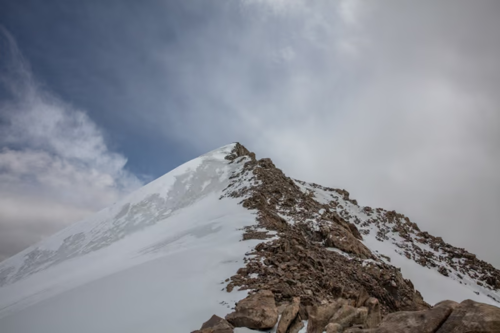
There are a number of treks you can do in and around the Koi Tezek Pass area. Turumtaikul, Kokbay, Chukurkul, Oqkul are lakes reachable near the pass. For those wanting to take on a non-technical peak, 5,700 meter Kyzyldong can be accessed from Koi Tezek Pass.
I recommend at least purchasing the Markus Hauser Pamirs Map and having a GPS on hand if you plan to trek in this area unguided. Pamir Guides can help you arrange trekking out in this area as well.
Getting Around the Eastern Pamir
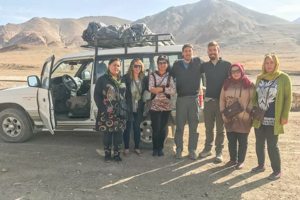
Shared taxi and private 4WD car/driver hire are the most common way to move around the Eastern Pamir unless you have your own vehicle or are traveling by bicycle.
To & from Khorog: Shared taxis depart from nearby Bidurd in the mornings. You will need to take the sprinter van that collects people from the bus stop outside of the Amonat Bank jsut west of the Old Khorog Bazaar for 6 TJS to reach Bidurd. Shared taxis depart the Murghab Bazaar for Khorog as well most mornings.
A seat in a shared taxi should cost about 250 TJS. When traveling from Murghab to Khorog try to arrange a seat in a shared taxi the day prior and have them pick you up from your guesthouse. Sometimes drivers will go around to guesthouses in the late afternoon looking for passengers to join.
To & from Alichur: Getting to Alichur usually isn’t a problem since most shared taxis headed for Murghab from Khorog or Khorog to Murghab will drop you there. Getting out of Alichur may take a day or so of waiting if you’re determined to take a shared taxi. Ask around Alichur if any cars will be departing in the direction you need, or try to hitch along the main road.
To Shaimak: Shaimak is usually on the popular Pamir Highway detour that leaves the Tajik Wakhan from Khorog and splits off at Khargush Pass continuing to Zorkul, Jarty Gumbez, Shaimak, and eventually up to Murghab.
You’ll need to hire a 4WD and driver with a group of travelers or on your own for this route. If you are planning to visit on a linear trip from Murghab you can expect a return 4WD hire to Shaimak and back to cost about $200 USD.
Every couple of days or so shared taxis do depart Murghab Bazaar, plan for approximately 200 TJS per seat, depending on how many passengers show up (thanks to Alex from Lost With Purpose on the 2019 update for Shaimak shared taxi costs, you can read about her visit (and brush with near death) here and how she nearly died of some mystery illness out there). A return shared taxi from Shaimak to Murghab departs every two or three days (sometimes longer).
To & from Rangkul: A shared taxi leaves Murghab Bazaar in the afternoon bound for Rangkul and returns in the morning back to Murghab. A seat should cost about 40 TJS.
To The Tanymas & Bartang Valleys: Note that at times the Tanymas Valley and northern Bartang Valley are not accessible due to foods and/or landslides. Ask local agencies if you plan to do it with your own vehicle or on a bicycle. It’s possible to arrange this trip with a local operator, I recommend contacting Pamir Guides as Saidali and his team are Murghab natives and know this area quite well and have been guiding in the Eastern Pamir for many years.
To & from Karakul: From the Murghab Bazaar find an Osh bound shared taxi from the bazaar and let your driver know you plan to get out at Karakul. Know that it may take you a couple of days to get a full shared taxi out of Karakul in either direction unless you plan to hire your own private transport.
To & from Osh: If you are completing your Pamir Highway adventure, this is your last leg north toward the Kyrgyz Border at Kyzyl Art Pass. On the way from Murghab, you’ll cross 4,655 meter Ak Baital Pass, before dropping down past Karakul Lake & Village. From Karakul, the road inclines toward Kyzyl Art Pass to cross to enter Kyrgyzstan.
From the border, you’ll continue to Sary Tash, where some will opt to stay and continue their journey to Peak Lenin. Otherwise, you’ll continue north to Osh. A shared taxis depart Murghab Bazaar most mornings in the summer, though at other times you may need to wait a day our two. Regular transport over the border has not returned just yet. A seat should cost 400 TJS.
If you’re coming from Osh, shared taxis haven’t regularly started again. Your best course of action is to contact Osh guesthosues to ask about any drivers that may be going. The journey should cost around 3,650 KGS.
To & from China via Qolma Pass: Qolma Pass is the border crossing between Tajikistan and China that opened to foreigners in the last few years. You’ll need to arrange transport to and from either side of the pass. Crossing between the two country’s border offices requires hitching with Kamaz Trucks making the journey (border officials know this and will pair you with a truck). Read more about how to cross Qolma Pass.
Have Any Questions About Traveling in the Eastern Pamir?
Ask in the comment section below!
Posts from Tajikistan
Shaimak Travel Guide Tajikistan
A Day Trip to Taboshar Uranium Mines in Istiklol, Tajikistan
How to Get to Timur Dara Lake, Tajikistan
How to Visit Childukhtaron, Tajikistan
Bolshoi Allo Lake, Tajikistan
Climbing Kyzyldong, Tajikistan
A Guide to the World Nomad Games

Registering with Tajikistan OVIR in Khorog
Karakul Travel Guide, Tajikistan
Gumbezkul Pass Hike, Tajikistan
Madiyan Hot Springs Tajikistan
Dushanbe Day Trips
Central Asia Travel Tips
Tajikistan SIM & eSIM Guide
Vegetarian in Central Asia
How to Get to Khafrazdara Valley, Tajikistan
Eastern Pamir Travel Guide
Trekking to Pik Engles Meadow
Murghab Travel Guide
Tajikistan-Afghanistan Border Crossing at Shirkhan Bandar
Qala i khumb Travel Guide
Akhkon Salt Flat in Asht, Tajikistan
Is Tajikistan Safe?
Sarazm Ruins: Tajikistan’s Oldest City
How to Get to Lake Sarez
Tajikistan Border Crossings

Hike the Lakes Loop in Tajikistan’s Fann Mountains
Shokhdara Valley, Tajikistan
Tajikistan Visa Guide
Crossing Chimtarga Pass
Afghan Bazaar in Khorog, Tajikistan
Tajik Wakhan Valley Travel Guide
How to Get a GBAO Permit
12 Day Fann Mountains Trekking Expedition, Tajikistan
12 Day Pamir Highway Expedition
Iskanderkul & Sarytag Travel Guide
Kyzyl Art Border Crossing

Jizeu Trek in Tajikistan’s Pamir
10 Reasons to Visit the Pamirs
Tajikistan In Photos
Tajikistan Itinerary for 1-4 Weeks
Solo Female Travel in Central Asia
Khujand Travel Guide
Istaravshan Travel Guide
Haft Kul: Tajikistan’s 7 Lakes
Registering with Tajikistan OVIR in Dushanbe
Trekking to Turumtaikul Lake
Bartang Valley, Tajikistan
Yagnob Valley Trekking Travel Guide
Ishkashim Border Crossing
Posts from Tajikistan
Shaimak Travel Guide Tajikistan
A Day Trip to Taboshar Uranium Mines in Istiklol, Tajikistan
How to Get to Timur Dara Lake, Tajikistan
How to Visit Childukhtaron, Tajikistan
Bolshoi Allo Lake, Tajikistan
Climbing Kyzyldong, Tajikistan
A Guide to the World Nomad Games
Registering with Tajikistan OVIR in Khorog
Karakul Travel Guide, Tajikistan
Gumbezkul Pass Hike, Tajikistan
Madiyan Hot Springs Tajikistan
Dushanbe Day Trips
Central Asia Travel Tips
Tajikistan SIM & eSIM Guide
Vegetarian in Central Asia
How to Get to Khafrazdara Valley, Tajikistan
Eastern Pamir Travel Guide
Trekking to Pik Engles Meadow
Murghab Travel Guide
Tajikistan-Afghanistan Border Crossing at Shirkhan Bandar
Qala i khumb Travel Guide
Akhkon Salt Flat in Asht, Tajikistan
Is Tajikistan Safe?
Sarazm Ruins: Tajikistan’s Oldest City
How to Get to Lake Sarez
Tajikistan Border Crossings
Hike the Lakes Loop in Tajikistan’s Fann Mountains
Shokhdara Valley, Tajikistan
Tajikistan Visa Guide
Crossing Chimtarga Pass
Afghan Bazaar in Khorog, Tajikistan
Tajik Wakhan Valley Travel Guide
How to Get a GBAO Permit
12 Day Fann Mountains Trekking Expedition, Tajikistan
12 Day Pamir Highway Expedition
Iskanderkul & Sarytag Travel Guide
Kyzyl Art Border Crossing
Jizeu Trek in Tajikistan’s Pamir
10 Reasons to Visit the Pamirs
Tajikistan In Photos
Tajikistan Itinerary for 1-4 Weeks
Solo Female Travel in Central Asia
Khujand Travel Guide
Istaravshan Travel Guide
Haft Kul: Tajikistan’s 7 Lakes
Registering with Tajikistan OVIR in Dushanbe
Trekking to Turumtaikul Lake
Bartang Valley, Tajikistan
Yagnob Valley Trekking Travel Guide